|
search place name
|
||
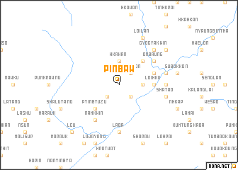
Pinbaw (Kachin State, Myanmar)Pinbaw is a town in the Kachin State region of Myanmar. An overview map of the region around Pinbaw is displayed below.
regional and 3d topo map of Pinbaw, Myanmar ::
Pinbaw airports ::
The nearest airport is MYT - Myitkyina, located 78.9 km north east of Pinbaw.
Nearby towns ::
Kondangyi (2.5km south west) //
Ingyingôn (2.5km north east) //
Pinlôn (2.5km north east) //
Banmauk (2.5km south east) //
Sawnghka (3.7km north) //
Hkawan (3.7km north) //
Nansankyin (3.4km east) //
Pyinbyu Zu (5.0km south west) //
Thaikwagôn (5.0km north east) //
Loihku (5.0km east) //
Namyin Te (5.4km east) //
Onbaung (6.3km north east) //
Namkwin (6.5km south west) //
Pagunyang (6.7km east) //
Laba (7.4km south) //
Hkinlap (7.4km south) //
Pangsa (7.0km east) //
Shatao (7.0km east) //
Gyogya Kwin (7.5km north east) //
Loilan (8.1km north east) //
Namana (8.7km north east) //
Le-u (10.0km south west) //
[all distances 'as the bird flies' and approximate] 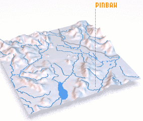 Places with similar names to Pinbaw, Myanmar ::
Disclaimer :: Information on this page comes without warranty of any kind |
||
|
Where is Pinbaw? Elevation and coordinates ::
Latitude (lat): 25°6'0"N Longitude (lon): 96°38'0"E
Elevation (approx.): 193m (map arrows pan, magnifying glasses zoom) |
||
|
Visiting Pinbaw? Hotel/Accommodation ::
Book a hotel in Pinbaw Travel Guide ::
Buy a travel guide for Myanmar rental cars ::
car rental offers GPS waypoint ::
download a GPX waypoint (PoI) of Pinbaw for your GPS receiver
|
||