|
search place name
|
||
Pinlaung (Chin, Myanmar)Pinlaung is a town in the Chin region of Myanmar. An overview map of the region around Pinlaung is displayed below.
regional and 3d topo map of Pinlaung, Myanmar ::

Pinlaung airports ::
The nearest airport is AKY - Sittwe, located 153.2 km south west of Pinlaung.
Other airports nearby include KYP - Kyaukpyu (195.4 km south), CXB - Cox's Bazar Coxs Bazar (198.2 km west), Nearby towns ::
Shwidu (1.9km south) //
Mali (3.5km west) //
Shekawktu (3.7km north) //
Nghka (4.1km north east) //
Lwedup (3.9km south east) //
Hlakchawk (4.1km south west) //
Mshwe (7.6km north west) //
Hkit (9.0km south east) //
Hmawlaunglung (10.1km south west) //
[all distances 'as the bird flies' and approximate] 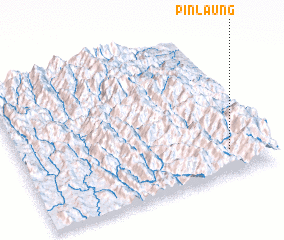 Places with similar names to Pinlaung, Myanmar ::
// Pinlaung (MM)
// Pinlawng (MM)
// Penalonga (PT)
// Poiana Lungă (RO)
// Poiana Lungă (RO)
// Panilonco (CL)
// Pinaling (ID)
// Pineleng (ID)
// Pin-lang (TW)
// Panolong (PH)
Disclaimer :: Information on this page comes without warranty of any kind |
||
|
Where is Pinlaung? Elevation and coordinates ::
Latitude (lat): 21°10'0"N Longitude (lon): 93°51'0"E
Elevation (approx.): 1145m (map arrows pan, magnifying glasses zoom) |
||
|
Visiting Pinlaung? Hotel/Accommodation ::
Book a hotel in Pinlaung Travel Guide ::
Buy a travel guide for Myanmar rental cars ::
car rental offers GPS waypoint ::
download a GPX waypoint (PoI) of Pinlaung for your GPS receiver
|
||