|
search place name
|
||
Putaw (Kayin, Myanmar)Putaw is a town in the Kayin region of Myanmar. An overview map of the region around Putaw is displayed below.
regional and 3d topo map of Putaw, Myanmar ::

Putaw airports ::
The nearest airport is RGN - Yangon Intl, located 241.6 km north west of Putaw.
Nearby towns ::
Winkana (3.7km north) //
Thanbaya (4.1km south east) //
Anankwin (4.0km south west) //
Kyaukbilu (5.7km east) //
Karesaw (7.6km north) //
Na-awn (7.6km north) //
Kawlawa (8.0km south west) //
Tanyin (8.0km north west) //
Khonkhan (9.1km south east) //
Taungzun (10.3km south east) //
Paya (10.3km north west) //
[all distances 'as the bird flies' and approximate] 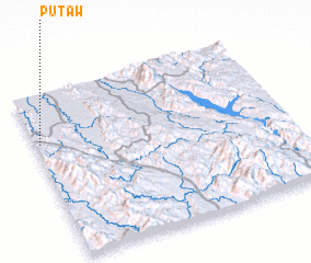 Places with similar names to Putaw, Myanmar ::
Disclaimer :: Information on this page comes without warranty of any kind |
||
|
Where is Putaw? Elevation and coordinates ::
Latitude (lat): 15°42'0"N Longitude (lon): 98°1'0"E
Elevation (approx.): 27m (map arrows pan, magnifying glasses zoom) |
||
|
Visiting Putaw? Hotel/Accommodation ::
Book a hotel in Putaw Travel Guide ::
Buy a travel guide for Myanmar rental cars ::
car rental offers GPS waypoint ::
download a GPX waypoint (PoI) of Putaw for your GPS receiver
|
||