|
search place name
|
||
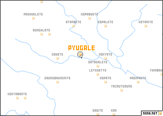
Pyugale (Myanmar)Pyugale is a town in Myanmar. An overview map of the region around Pyugale is displayed below.
regional and 3d topo map of Pyugale, Myanmar ::
Pyugale airports ::
The nearest airport is RGN - Yangon Intl, located 183.7 km south of Pyugale.
Other airports nearby include SNW - Thandwe (199.2 km west), Nearby towns ::
Sayagale Tē (4.0km south east) //
Letkwette (5.1km south east) //
Ko Kya Tē (5.3km east) //
Ko We Tē (5.3km west) //
Atanbe Te (7.6km north) //
Ko Pa Tē (7.7km south east) //
Gaung Baung Ni Tē (7.7km south west) //
Ko Pale Tē (9.1km north east) //
Palibaw Tē (9.0km north west) //
[all distances 'as the bird flies' and approximate] 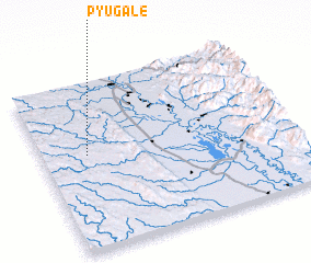 Places with similar names to Pyugale, Myanmar ::
// Payagale (MM)
// Payagale (MM)
// Payacollo (CL)
// Payakalui (ID)
// Pāyo Kili (PK)
// Pāyo Kili (PK)
// Piyŏk-kol (KP)
// P'iya-gol (KR)
// P'iyak-kol (KR)
// Payao Kili (PK)
Disclaimer :: Information on this page comes without warranty of any kind |
||
|
Where is Pyugale? Elevation and coordinates ::
Latitude (lat): 18°34'0"N Longitude (lon): 96°11'0"E
Elevation (approx.): 146m (map arrows pan, magnifying glasses zoom) |
||
|
Visiting Pyugale? Hotel/Accommodation ::
Book a hotel in Pyugale Travel Guide ::
Buy a travel guide for Myanmar rental cars ::
car rental offers GPS waypoint ::
download a GPX waypoint (PoI) of Pyugale for your GPS receiver
|
||