|
search place name
|
||
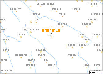
Sanai Ale (Shan, Myanmar)Sanai Ale is a town in the Shan region of Myanmar. An overview map of the region around Sanai Ale is displayed below.
regional and 3d topo map of Sanai Ale, Myanmar ::
Sanai Ale airports ::
The nearest airport is HEH - Heho, located 143.8 km north of Sanai Ale.
Nearby towns ::
Sanai (NaNkm north) //
Sanai Atet (NaNkm north) //
Sanai Auk (NaNkm north) //
Hwahsihsaung (3.7km north) //
Kankleun (5.1km north east) //
Bithu Atet (6.4km south east) //
Subyaung (6.6km south west) //
Hwathalantein (7.2km west) //
Sibu (7.6km north west) //
Hkupra (7.9km south east) //
Yahku (8.2km north east) //
Kaleta (8.2km south west) //
Kwetalok (9.1km north west) //
Pyinsaung (8.9km north west) //
Tamohku (10.2km south east) //
[all distances 'as the bird flies' and approximate] 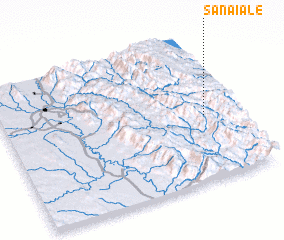 Places with similar names to Sanai Ale, Myanmar ::
Disclaimer :: Information on this page comes without warranty of any kind |
||
|
Where is Sanai Ale? Elevation and coordinates ::
Latitude (lat): 19°27'0"N Longitude (lon): 96°52'0"E
Elevation (approx.): 1000m (map arrows pan, magnifying glasses zoom) |
||
|
Visiting Sanai Ale? Hotel/Accommodation ::
Book a hotel in Sanai Ale Travel Guide ::
Buy a travel guide for Myanmar rental cars ::
car rental offers GPS waypoint ::
download a GPX waypoint (PoI) of Sanai Ale for your GPS receiver
|
||