|
search place name
|
||
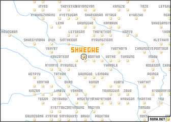
Shwegwe (Sagaing, Myanmar)Shwegwe is a town in the Sagaing region of Myanmar. An overview map of the region around Shwegwe is displayed below.
regional and 3d topo map of Shwegwe, Myanmar ::
Shwegwe airports ::
The nearest airport is MDL - Mandalay Intl, located 145.9 km south east of Shwegwe.
Other airports nearby include IMF - Imphal (254.4 km north west), Nearby towns ::
Kinmungyon (0.0km north) //
Tamadaw (1.7km west) //
Pegon (1.9km north) //
Shwegu (1.9km north) //
Bonywa (1.7km east) //
Pauktaw (2.5km north east) //
Sabègu (2.5km north east) //
Daungdo (3.7km south) //
Nabet-aing (3.4km east) //
Nyaungle (3.9km south west) //
Pyidaung (4.1km south east) //
Sinthegon (5.0km north west) //
Nyaungzigon (5.0km north east) //
Nganwezin (5.0km north east) //
Leindaw (5.0km south east) //
Pabèzu (5.0km south east) //
Malwē (5.0km south east) //
Payongon (5.1km west) //
Wungyi (5.1km west) //
Gwet (5.1km west) //
Kawzatkon (5.1km west) //
Wathe (5.1km east) //
Letsegan (5.8km north) //
Wayonyin (5.8km north) //
Nebugon (5.4km west) //
Konzwa (5.8km north) //
Kun-on (5.8km south) //
Ywapalè (5.4km east) //
Sithemye (5.4km east) //
[all distances 'as the bird flies' and approximate] 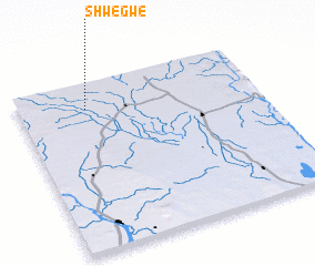 Places with similar names to Shwegwe, Myanmar ::
Disclaimer :: Information on this page comes without warranty of any kind |
||
|
Where is Shwegwe? Elevation and coordinates ::
Latitude (lat): 22°51'0"N Longitude (lon): 95°17'0"E
Elevation (approx.): 131m (map arrows pan, magnifying glasses zoom) |
||
|
Visiting Shwegwe? Hotel/Accommodation ::
Book a hotel in Shwegwe Travel Guide ::
Buy a travel guide for Myanmar rental cars ::
car rental offers GPS waypoint ::
download a GPX waypoint (PoI) of Shwegwe for your GPS receiver
|
||