|
search place name
|
||
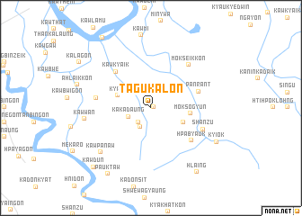
Tagukalon (Mon State, Myanmar)Tagukalon is a town in the Mon State region of Myanmar. An overview map of the region around Tagukalon is displayed below.
regional and 3d topo map of Tagukalon, Myanmar ::
Tagukalon airports ::
The nearest airport is RGN - Yangon Intl, located 191.9 km west of Tagukalon.
Other airports nearby include LPT - Lampang (267.9 km north east), Nearby towns ::
Ywathitkon (0.3km east) //
Daunggon (2.3km south west) //
Kawkhalein (2.5km north west) //
Ankare (2.7km south west) //
Kakadaung (2.9km west) //
Hpayegyi (4.2km south east) //
Kya-in (4.3km west) //
Moksogyun (4.8km east) //
Panrant (6.0km east) //
Kawkyaik (6.1km north west) //
Hpabyauk (6.3km south east) //
Hlawzingon (6.6km west) //
Shanzu (6.7km south east) //
Mokseikkon (7.0km north east) //
Kawpanaw (8.1km south west) //
Kawwan (8.0km west) //
Kyi-ok (8.9km south east) //
Pauktaw (9.6km south west) //
Hlaing (9.7km south east) //
Kawdun (10.0km south west) //
Damathat (10.4km north west) //
[all distances 'as the bird flies' and approximate] 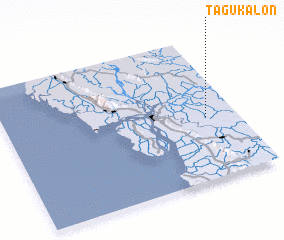 Places with similar names to Tagukalon, Myanmar ::
// Digkilaan (PH)
// Ticu-Colonia (RO)
// Digāu Kalān (IN)
// Dāoke Kalān (PK)
// Dauke Kalān (PK)
// Dagkolany (AZ)
Disclaimer :: Information on this page comes without warranty of any kind |
||
|
Where is Tagukalon? Elevation and coordinates ::
Latitude (lat): 16°25'57"N Longitude (lon): 97°51'50"E
Elevation (approx.): 31m (map arrows pan, magnifying glasses zoom) |
||
|
Visiting Tagukalon? Hotel/Accommodation ::
Book a hotel in Tagukalon Travel Guide ::
Buy a travel guide for Myanmar rental cars ::
car rental offers GPS waypoint ::
download a GPX waypoint (PoI) of Tagukalon for your GPS receiver
|
||