|
search place name
|
||
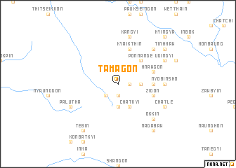
Tamagon (Sagaing, Myanmar)Tamagon is a town in the Sagaing region of Myanmar. An overview map of the region around Tamagon is displayed below.
regional and 3d topo map of Tamagon, Myanmar ::
Tamagon airports ::
The nearest airport is MDL - Mandalay Intl, located 200.1 km south of Tamagon.
Other airports nearby include IMF - Imphal (227.5 km north west), MYT - Myitkyina (272.2 km north east), Nearby towns ::
Nyaunggantha (1.9km south) //
Hlebwe (1.7km east) //
Inngokto (2.5km south west) //
Sadwingôn (3.4km east) //
Thabyedaw (3.7km south) //
Chatkyi (4.1km south east) //
Ponna-nge (5.0km north east) //
Pauktaw (5.1km east) //
Zigon (5.4km east) //
Pintha (5.4km east) //
Kyaikthin (5.8km north) //
Hnawgon (5.4km east) //
Nyobinsho (6.8km east) //
Kyedaw (6.8km east) //
Kangyi (7.6km north) //
Ponnagyi (7.5km north east) //
Okkin (7.5km south east) //
Chatle (7.7km south east) //
Palutha (7.7km south west) //
Ugingyi (7.7km north east) //
Nagabaw (9.0km south east) //
Tebin (9.0km south west) //
Tinhmaw (8.8km north east) //
Myingya (10.1km north east) //
[all distances 'as the bird flies' and approximate] 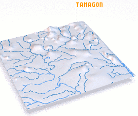 Places with similar names to Tamagon, Myanmar ::
Disclaimer :: Information on this page comes without warranty of any kind |
||
|
Where is Tamagon? Elevation and coordinates ::
Latitude (lat): 23°29'0"N Longitude (lon): 95°39'0"E
Elevation (approx.): 210m (map arrows pan, magnifying glasses zoom) |
||
|
Visiting Tamagon? Hotel/Accommodation ::
Book a hotel in Tamagon Travel Guide ::
Buy a travel guide for Myanmar rental cars ::
car rental offers GPS waypoint ::
download a GPX waypoint (PoI) of Tamagon for your GPS receiver
|
||