|
search place name
|
||
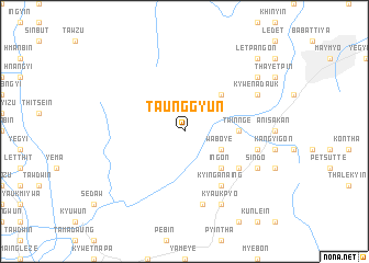
Taunggyun (Mandalay, Myanmar)Taunggyun is a town in the Mandalay region of Myanmar. An overview map of the region around Taunggyun is displayed below.
regional and 3d topo map of Taunggyun, Myanmar ::
Taunggyun airports ::
The nearest airport is MDL - Mandalay Intl, located 47.0 km south west of Taunggyun.
Other airports nearby include HEH - Heho (143.2 km south), LSH - Lashio (184.0 km north east), Nearby towns ::
Waboye (3.9km south east) //
Sakangyi (5.1km north east) //
Ingon (5.1km south east) //
Sin-hnin-chaung (5.2km east) //
Twin-nge (5.2km east) //
Kyin-ganaing (6.5km south east) //
Dathwe-kyauk (6.5km south east) //
Thondaung (6.4km south east) //
Thon-daung-ywa-ma (7.6km south) //
Sitha (7.1km east) //
Kywenadauk (7.8km north east) //
Kyauk-pyo (8.2km south east) //
Sindo (7.8km south east) //
Myetchenu (8.8km north east) //
Lebyaungbyan (10.1km north east) //
Letpangon (10.1km north east) //
[all distances 'as the bird flies' and approximate] 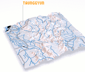 Places with similar names to Taunggyun, Myanmar ::
// Tankyun (MM)
// Taunggyun (MM)
// Taunggyun (MM)
// Taunggyun (MM)
// Tankyana (BF)
// Tenggayun (ID)
// Dunikiyana (LK)
// Tunkyan (MM)
// Ðạo Nguyên (VN)
// Tangoayan (PH)
Disclaimer :: Information on this page comes without warranty of any kind |
||
|
Where is Taunggyun? Elevation and coordinates ::
Latitude (lat): 21°58'0"N Longitude (lon): 96°20'0"E
Elevation (approx.): 671m (map arrows pan, magnifying glasses zoom) |
||
|
Visiting Taunggyun? Hotel/Accommodation ::
Book a hotel in Taunggyun Travel Guide ::
Buy a travel guide for Myanmar rental cars ::
car rental offers GPS waypoint ::
download a GPX waypoint (PoI) of Taunggyun for your GPS receiver
|
||