|
search place name
|
||
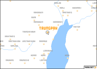
Taungpaw (Kachin State, Myanmar)Taungpaw is a town in the Kachin State region of Myanmar. An overview map of the region around Taungpaw is displayed below.
regional and 3d topo map of Taungpaw, Myanmar ::
Taungpaw airports ::
The nearest airport is MYT - Myitkyina, located 107.9 km east of Taungpaw.
Nearby towns ::
Loimon (2.5km south east) //
Nammilaung (2.5km north east) //
Nampade (4.1km south west) //
Namsadon (5.0km north west) //
Konmamon (5.0km north east) //
Lonkaung (7.4km south) //
Tawngkawbum (6.7km west) //
Nampaungzin (7.6km south) //
Konmana (7.6km south) //
Aura (7.5km north west) //
Namsadon (8.1km north west) //
Ungtawngkaw (7.7km south west) //
Nyaungbin (9.0km north east) //
Hpatawng (10.0km north east) //
[all distances 'as the bird flies' and approximate] 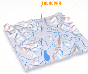 Places with similar names to Taungpaw, Myanmar ::
Disclaimer :: Information on this page comes without warranty of any kind |
||
|
Where is Taungpaw? Elevation and coordinates ::
Latitude (lat): 25°12'0"N Longitude (lon): 96°18'0"E
Elevation (approx.): 195m (map arrows pan, magnifying glasses zoom) |
||
|
Visiting Taungpaw? Hotel/Accommodation ::
Book a hotel in Taungpaw Travel Guide ::
Buy a travel guide for Myanmar rental cars ::
car rental offers GPS waypoint ::
download a GPX waypoint (PoI) of Taungpaw for your GPS receiver
|
||