|
search place name
|
||
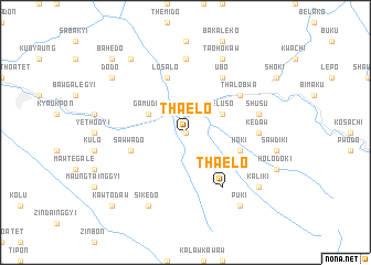
Tha-elo (Kayin, Myanmar)Tha-elo is a town in the Kayin region of Myanmar. An overview map of the region around Tha-elo is displayed below.
regional and 3d topo map of Tha-elo, Myanmar ::
Tha-elo airports ::
The nearest airport is HEH - Heho, located 206.6 km north of Tha-elo.
Other airports nearby include RGN - Yangon Intl (233.3 km south), Nearby towns ::
Thekudo (0.0km north) //
Leluso (4.0km north east) //
Gamudo (4.0km north west) //
Hoki (5.6km east) //
Sawwado (5.6km west) //
Losalo (5.8km north) //
Ubo (6.6km north east) //
Tha-elo (6.6km south east) //
Thalobwa (6.4km north east) //
Mawbedo (7.4km north) //
Kedaw (7.0km east) //
Shusu (7.3km east) //
Sikedo (8.2km south west) //
Taohokaw (8.2km north east) //
Puki (9.1km south east) //
Kaliki (9.0km south east) //
Dodo (8.9km north west) //
Nawtedo (9.1km north west) //
Kawtodaw (10.2km south west) //
Bahèdo (10.2km north west) //
[all distances 'as the bird flies' and approximate] 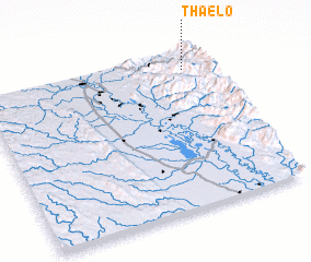 Places with similar names to Tha-elo, Myanmar ::
Disclaimer :: Information on this page comes without warranty of any kind |
||
|
Where is Tha-elo? Elevation and coordinates ::
Latitude (lat): 18°53'0"N Longitude (lon): 96°54'0"E
Elevation (approx.): 756m (map arrows pan, magnifying glasses zoom) |
||
|
Visiting Tha-elo? Hotel/Accommodation ::
Book a hotel in Tha-elo Travel Guide ::
Buy a travel guide for Myanmar rental cars ::
car rental offers GPS waypoint ::
download a GPX waypoint (PoI) of Tha-elo for your GPS receiver
|
||