|
search place name
|
||
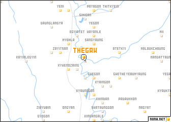
Thegaw (Myanmar)Thegaw is a town in Myanmar. An overview map of the region around Thegaw is displayed below.
regional and 3d topo map of Thegaw, Myanmar ::
Thegaw airports ::
The nearest airport is HEH - Heho, located 159.5 km north of Thegaw.
Other airports nearby include SNW - Thandwe (234.1 km south west), Nearby towns ::
Payagon (0.0km north) //
Ketku (2.5km south west) //
Chon-ingale (3.7km south) //
Kywenozaing (4.0km south west) //
Nattaung (4.0km south west) //
Gwegon (4.1km south east) //
Sangyaung (4.1km north east) //
Myohla (5.1km north west) //
Zayitsan (5.6km west) //
Egyi Atet (5.8km north) //
Wayonle (5.8km north) //
Kya-ingon (6.6km south east) //
Kyaunggon (7.4km south) //
Thagaya (7.4km south) //
Kodan (7.6km south) //
Sedaw (7.2km west) //
Atetkyi (7.2km east) //
Yegon (7.6km north) //
Daukingon (7.6km south east) //
Gwethe (7.9km south east) //
Daunglangya (10.2km north west) //
[all distances 'as the bird flies' and approximate] 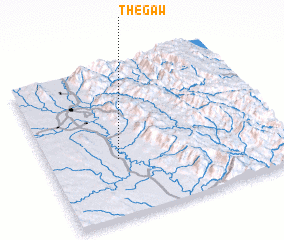 Places with similar names to Thegaw, Myanmar ::
Disclaimer :: Information on this page comes without warranty of any kind |
||
|
Where is Thegaw? Elevation and coordinates ::
Latitude (lat): 19°23'0"N Longitude (lon): 96°18'0"E
Elevation (approx.): 67m (map arrows pan, magnifying glasses zoom) |
||
|
Visiting Thegaw? Hotel/Accommodation ::
Book a hotel in Thegaw Travel Guide ::
Buy a travel guide for Myanmar rental cars ::
car rental offers GPS waypoint ::
download a GPX waypoint (PoI) of Thegaw for your GPS receiver
|
||