|
search place name
|
||
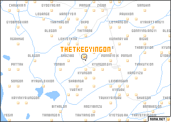
Thetkegyingon (Myanmar)Thetkegyingon is a town in Myanmar. An overview map of the region around Thetkegyingon is displayed below.
regional and 3d topo map of Thetkegyingon, Myanmar ::
Thetkegyingon airports ::
The nearest airport is SNW - Thandwe, located 137.9 km west of Thetkegyingon.
Other airports nearby include RGN - Yangon Intl (157.9 km south), Nearby towns ::
Obogon (1.9km south) //
Thahlapinzi (2.6km south east) //
Tumyaung (2.6km north east) //
Kyungon (3.7km south) //
Shazibo (3.5km west) //
Onhnegyawdan (4.1km south east) //
Kyungongyi (4.0km south east) //
Payagyigon (4.1km north west) //
Le-myethna (5.1km north west) //
Ponnayeik (5.3km east) //
Thitnapa (5.6km north) //
Shabinda (5.8km south) //
Yonbin (5.6km west) //
Nyaunggon (5.8km south) //
Lede (5.6km east) //
Okpo (7.4km north) //
Ywathit (7.6km south) //
Gyobingauk (7.3km east) //
Gokmakwin (7.7km south east) //
Ywathaya (8.2km south west) //
Kunhnaywa (8.0km north east) //
Alegon (9.0km north west) //
Kayingon (9.1km north east) //
Leinbingwin (9.0km south east) //
Ywathagon (9.1km north west) //
Kyedaw (10.2km south east) //
Letpangon (10.2km north east) //
[all distances 'as the bird flies' and approximate] 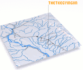 Places with similar names to Thetkegyingon, Myanmar :: Disclaimer :: Information on this page comes without warranty of any kind |
||
|
Where is Thetkegyingon? Elevation and coordinates ::
Latitude (lat): 18°14'0"N Longitude (lon): 95°35'0"E
Elevation (approx.): 26m (map arrows pan, magnifying glasses zoom) |
||
|
Visiting Thetkegyingon? Hotel/Accommodation ::
Book a hotel in Thetkegyingon Travel Guide ::
Buy a travel guide for Myanmar rental cars ::
car rental offers GPS waypoint ::
download a GPX waypoint (PoI) of Thetkegyingon for your GPS receiver
|
||