|
search place name
|
||
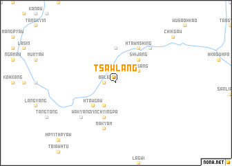
Tsawlang (Kachin State, Myanmar)Tsawlang is a town in the Kachin State region of Myanmar. An overview map of the region around Tsawlang is displayed below.
regional and 3d topo map of Tsawlang, Myanmar ::
Tsawlang airports ::
The nearest airport is MYT - Myitkyina, located 125.8 km south west of Tsawlang.
Other airports nearby include PBU - Putao (178.8 km north west), Nearby towns ::
Wachutaing (1.7km west) //
Bā-lē (1.7km west) //
Lungpang (1.9km north) //
Pammyaw (4.1km south west) //
Wachao (3.8km north east) //
Luksang (3.8km north east) //
Htawgaw (5.0km south west) //
Shijang (5.0km north east) //
Hkamkawn (5.6km north) //
Yinchyingpa (5.8km south) //
Tawngkaw (5.8km south) //
Htawmshing (6.5km north east) //
Nakyam (7.6km south) //
Wakyang (7.5km south west) //
Gaw-yawm (7.5km north east) //
[all distances 'as the bird flies' and approximate] 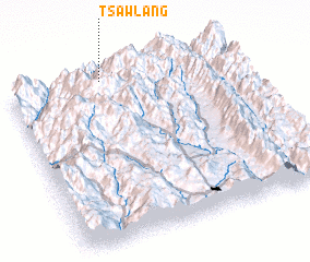 Places with similar names to Tsawlang, Myanmar ::
// Tsiling (RU)
// Ta Hsaileng (MM)
// Tüßling (DE)
// Dzielnica (PL)
// Dzielnik (PL)
// Desseling (FR)
// Ts'ao-ling (TW)
// Ts'ao-ling (TW)
// Ts'ao-ling (TW)
// Tzu-lung (TW)
Disclaimer :: Information on this page comes without warranty of any kind |
||
|
Where is Tsawlang? Elevation and coordinates ::
Latitude (lat): 25°59'0"N Longitude (lon): 98°25'0"E
Elevation (approx.): 1627m (map arrows pan, magnifying glasses zoom) |
||
|
Visiting Tsawlang? Hotel/Accommodation ::
Book a hotel in Tsawlang Travel Guide ::
Buy a travel guide for Myanmar rental cars ::
car rental offers GPS waypoint ::
download a GPX waypoint (PoI) of Tsawlang for your GPS receiver
|
||