|
search place name
|
||
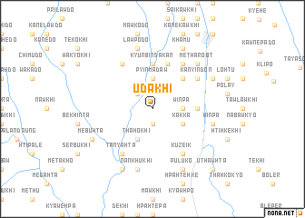
Udakhi (Kayin, Myanmar)Udakhi is a town in the Kayin region of Myanmar. An overview map of the region around Udakhi is displayed below.
regional and 3d topo map of Udakhi, Myanmar ::
Udakhi airports ::
The nearest airport is RGN - Yangon Intl, located 178.4 km south west of Udakhi.
Nearby towns ::
Urekhi (1.9km south) //
U-da (2.6km north west) //
Minnannwè (2.6km north west) //
Winpa (3.5km east) //
Pyinmadaw (3.7km north) //
Thahokhi (4.1km south west) //
Kakka (4.0km south east) //
Nyaungbingon (5.1km north east) //
Kyunbin Sakan (5.6km north) //
Whemon (5.3km east) //
Whesan (5.3km east) //
Metalekhi (5.8km north) //
Kupaikhi (6.6km north west) //
Tanyahta (6.6km south west) //
Shwebaw (6.6km north east) //
Kaukpok (6.6km north east) //
Kuzeik (6.6km south east) //
Kanyindôn (6.5km north east) //
Nankhukhi (7.6km south) //
Winpa (7.3km east) //
Lawpodo (7.6km north) //
Metharoot (7.7km north east) //
Nankhukhi (8.2km south west) //
Mebuhta (8.0km south west) //
Puluko (8.2km south east) //
Khamu (8.2km north east) //
Whemon (8.0km north east) //
Tagundaing (8.0km north east) //
Paegaw (10.2km south east) //
[all distances 'as the bird flies' and approximate] 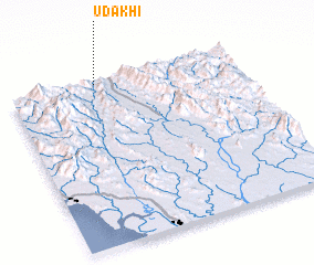 Places with similar names to Udakhi, Myanmar ::
Disclaimer :: Information on this page comes without warranty of any kind |
||
|
Where is Udakhi? Elevation and coordinates ::
Latitude (lat): 17°59'0"N Longitude (lon): 97°23'0"E
Elevation (approx.): 194m (map arrows pan, magnifying glasses zoom) |
||
|
Visiting Udakhi? Hotel/Accommodation ::
Book a hotel in Udakhi Travel Guide ::
Buy a travel guide for Myanmar rental cars ::
car rental offers GPS waypoint ::
download a GPX waypoint (PoI) of Udakhi for your GPS receiver
|
||