|
search place name
|
||
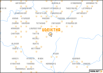
Udeiktha (Sagaing, Myanmar)Udeiktha is a town in the Sagaing region of Myanmar. An overview map of the region around Udeiktha is displayed below.
regional and 3d topo map of Udeiktha, Myanmar ::
Udeiktha airports ::
The nearest airport is LSH - Lashio, located 214.1 km east of Udeiktha.
Other airports nearby include MDL - Mandalay Intl (214.8 km south), IMF - Imphal (228.7 km north west), MYT - Myitkyina (250.7 km north east), Nearby towns ::
Aunggyin (1.7km west) //
Kansho (2.5km north west) //
Peiningyi (2.5km north east) //
Taungbohla (3.7km north) //
Zibyugon (4.1km north east) //
Shwebyugon (3.9km north east) //
Sinchidaing (5.0km south west) //
Tethisho (5.0km north west) //
Thitta (5.1km west) //
Mezali (5.4km west) //
Pwegan (5.8km north) //
Launggyaing (5.4km west) //
Aukte (6.3km south west) //
Hnawgon (6.5km north east) //
Tondintat (6.5km north east) //
Thegaw (6.5km north east) //
Pebingyaung (6.3km north east) //
Thaiktaw (7.4km south) //
Alegon (7.4km north) //
Chatchi (7.6km south) //
Ingon (7.6km south) //
Wayongon (7.6km north) //
Yashe (7.6km north) //
Chaunggwe (7.6km north) //
Wettha-in (7.5km south west) //
Thayetkon (8.2km north west) //
Kanbalu (8.2km north west) //
Nyaunggon (7.7km north east) //
Sittaw (9.0km north west) //
[all distances 'as the bird flies' and approximate] 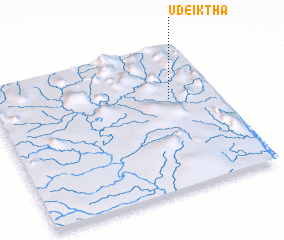 Places with similar names to Udeiktha, Myanmar :: Disclaimer :: Information on this page comes without warranty of any kind |
||
|
Where is Udeiktha? Elevation and coordinates ::
Latitude (lat): 23°38'0"N Longitude (lon): 95°47'0"E
Elevation (approx.): 251m (map arrows pan, magnifying glasses zoom) |
||
|
Visiting Udeiktha? Hotel/Accommodation ::
Book a hotel in Udeiktha Travel Guide ::
Buy a travel guide for Myanmar rental cars ::
car rental offers GPS waypoint ::
download a GPX waypoint (PoI) of Udeiktha for your GPS receiver
|
||