|
search place name
|
||
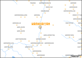
Wān Hkai-yam (Shan, Myanmar)Wān Hkai-yam is a town in the Shan region of Myanmar. An overview map of the region around Wān Hkai-yam is displayed below.
regional and 3d topo map of Wān Hkai-yam, Myanmar ::
Wān Hkai-yam airports ::
The nearest airport is HEH - Heho, located 115.5 km south west of Wān Hkai-yam.
Other airports nearby include MDL - Mandalay Intl (138.6 km west), LSH - Lashio (152.0 km north), MOG - Mong Hsat (238.4 km south east), Nearby towns ::
Wān Kengkawm (1.9km north) //
Wān Nā-kong (1.9km south) //
Wān Nawnghio (1.9km south) //
Wān Namküng (2.5km north east) //
Wān Htam (3.7km south) //
Wān Loi-namtau (5.1km south east) //
Pa-möng (5.6km north) //
Wān Makhsan (5.6km south) //
Pangme-leng (5.5km east) //
Wān Mak (5.8km south) //
Wān Kong (5.8km south) //
Wān Maü (5.8km north) //
Wān Ho-kwe (7.4km south) //
Wān Namhkai (7.4km south) //
Kawnghsai (7.6km north) //
Wan Teung (7.6km north) //
Tung-awn (7.6km south) //
Wan Nawngpa-yem (7.6km south) //
Wān Nā-keng (7.6km south west) //
Wān Ho-kwe (8.2km south east) //
Wān Namhkai (8.2km south east) //
Tüngmun (8.2km south west) //
Wān Namhu-mawng (8.9km north west) //
[all distances 'as the bird flies' and approximate] 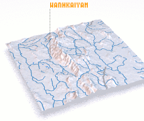 Places with similar names to Wān Hkai-yam, Myanmar :: Disclaimer :: Information on this page comes without warranty of any kind |
||
|
Where is Wān Hkai-yam? Elevation and coordinates ::
Latitude (lat): 21°40'0"N Longitude (lon): 97°19'0"E
Elevation (approx.): 724m (map arrows pan, magnifying glasses zoom) |
||
|
Visiting Wān Hkai-yam? Hotel/Accommodation ::
Book a hotel in Wān Hkai-yam Travel Guide ::
Buy a travel guide for Myanmar rental cars ::
car rental offers GPS waypoint ::
download a GPX waypoint (PoI) of Wān Hkai-yam for your GPS receiver
|
||