|
search place name
|
||
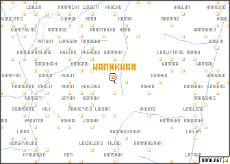
Wān Hkwam (Shan, Myanmar)Wān Hkwam is a town in the Shan region of Myanmar. An overview map of the region around Wān Hkwam is displayed below.
regional and 3d topo map of Wān Hkwam, Myanmar ::
Wān Hkwam airports ::
The nearest airport is HEH - Heho, located 53.7 km west of Wān Hkwam.
Other airports nearby include MDL - Mandalay Intl (178.9 km north west), MOG - Mong Hsat (204.7 km east), Nearby towns ::
Sampu (0.0km north) //
Nawng Hpi (1.9km south) //
Wān Ma-hput (1.7km east) //
Wān Tame (2.5km north west) //
Wān Mawk (3.7km north) //
Nam Noi (3.7km north) //
Mong Noi (3.9km north west) //
Hwe Lawk (3.9km south west) //
Hwe Howe (5.1km north west) //
Kon Kaw (5.1km south west) //
Nawng Sön (5.6km south) //
Mongnoi (5.5km west) //
Pang Ma (5.5km west) //
Pa Hka (5.5km east) //
Loi Sak (5.8km south) //
Top Sawk (5.8km south) //
Nawngko (6.6km north west) //
Pu Wut (6.9km west) //
Kun Hka (6.9km east) //
Pang Ta Hka (7.6km north) //
Ho-na (7.6km north) //
Pangta-hka (7.6km north) //
Nā-pot (7.2km west) //
Hku Hto (7.6km south east) //
Wan Namtenglik (7.6km south east) //
Namke-ting (7.6km south west) //
Wān Hka-lik (8.2km north east) //
Longhe (8.2km south west) //
Hwe-tak (7.9km north west) //
[all distances 'as the bird flies' and approximate] 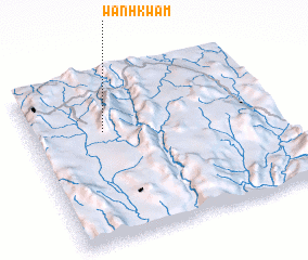 Places with similar names to Wān Hkwam, Myanmar :: Disclaimer :: Information on this page comes without warranty of any kind |
||
|
Where is Wān Hkwam? Elevation and coordinates ::
Latitude (lat): 20°40'0"N Longitude (lon): 97°18'0"E
Elevation (approx.): 1770m (map arrows pan, magnifying glasses zoom) |
||
|
Visiting Wān Hkwam? Hotel/Accommodation ::
Book a hotel in Wān Hkwam Travel Guide ::
Buy a travel guide for Myanmar rental cars ::
car rental offers GPS waypoint ::
download a GPX waypoint (PoI) of Wān Hkwam for your GPS receiver
|
||