|
search place name
|
||
Wān Hwè-tang (Shan, Myanmar)Wān Hwè-tang is a town in the Shan region of Myanmar. An overview map of the region around Wān Hwè-tang is displayed below.
regional and 3d topo map of Wān Hwè-tang, Myanmar ::

Wān Hwè-tang airports ::
The nearest airport is HEH - Heho, located 119.6 km south west of Wān Hwè-tang.
Other airports nearby include LSH - Lashio (152.1 km north), MDL - Mandalay Intl (152.6 km west), MOG - Mong Hsat (224.8 km south east), Nearby towns ::
Wān Pa-yang (1.7km west) //
Loi-hku (3.9km south east) //
Kong Mong (3.9km south east) //
Möng Lang (3.9km north east) //
Nawngmun (5.1km south east) //
Loi-mawkhkam (5.2km east) //
Mak-kun-wo (5.5km east) //
Nam-ya-yum (5.8km north) //
Mān Leng (6.5km north east) //
Mān Hpwi (6.5km north east) //
Kuntawng (6.5km south east) //
Wān Nā (6.4km north east) //
Pangkunlong (7.6km north) //
Wān Ka-hawk (7.6km north) //
To-leng (7.6km north east) //
Mān Hin (8.2km north east) //
Kongmöng (10.1km south east) //
[all distances 'as the bird flies' and approximate] 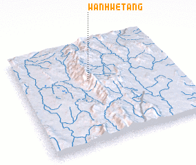 Places with similar names to Wān Hwè-tang, Myanmar ::
Disclaimer :: Information on this page comes without warranty of any kind |
||
|
Where is Wān Hwè-tang? Elevation and coordinates ::
Latitude (lat): 21°38'0"N Longitude (lon): 97°27'0"E
Elevation (approx.): 1160m (map arrows pan, magnifying glasses zoom) |
||
|
Visiting Wān Hwè-tang? Hotel/Accommodation ::
Book a hotel in Wān Hwè-tang Travel Guide ::
Buy a travel guide for Myanmar rental cars ::
car rental offers GPS waypoint ::
download a GPX waypoint (PoI) of Wān Hwè-tang for your GPS receiver
|
||