|
search place name
|
||
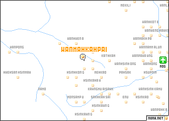
Wān Ma-hka-hpai (Shan, Myanmar)Wān Ma-hka-hpai is a town in the Shan region of Myanmar. An overview map of the region around Wān Ma-hka-hpai is displayed below.
regional and 3d topo map of Wān Ma-hka-hpai, Myanmar ::
Wān Ma-hka-hpai airports ::
The nearest airport is MOG - Mong Hsat, located 16.4 km east of Wān Ma-hka-hpai.
Other airports nearby include THL - Tachilek Tachileik (87.2 km east), KET - Kengtung (103.3 km north east), Nearby towns ::
Wān I-hsā (1.9km south) //
Wān Hse-hpong (1.7km east) //
Wān Tao-kong (1.7km east) //
Wān Hsē-ka-pē (2.5km north east) //
Hsinkawng (2.5km south east) //
Wān Hwè-nā (4.1km north west) //
Hsinhkong (4.1km south west) //
Hpya-hpat (5.1km south west) //
Mönsampu (5.1km south west) //
Mē-hkao (5.1km south east) //
Kathkam (5.2km east) //
Wān Hsinhköng (5.8km south) //
Hsinka-haw (5.8km south) //
Wān Hsinkaho (6.4km north west) //
Kawngmu-ai-sawk (8.2km south east) //
Mönhkamli (9.1km south east) //
Hsa-htawmön (10.2km south east) //
[all distances 'as the bird flies' and approximate] 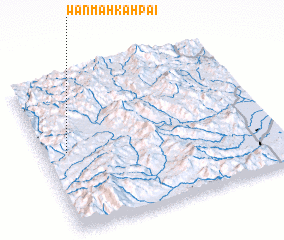 Places with similar names to Wān Ma-hka-hpai, Myanmar ::
// Wān Mawkpao (MM)
// Wān Mākhpā (MM)
Disclaimer :: Information on this page comes without warranty of any kind |
||
|
Where is Wān Ma-hka-hpai? Elevation and coordinates ::
Latitude (lat): 20°31'0"N Longitude (lon): 99°6'0"E
Elevation (approx.): 1257m (map arrows pan, magnifying glasses zoom) |
||
|
Visiting Wān Ma-hka-hpai? Hotel/Accommodation ::
Book a hotel in Wān Ma-hka-hpai Travel Guide ::
Buy a travel guide for Myanmar rental cars ::
car rental offers GPS waypoint ::
download a GPX waypoint (PoI) of Wān Ma-hka-hpai for your GPS receiver
|
||