|
search place name
|
||
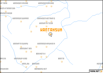
Wān Ta-hsūm (Shan, Myanmar)Wān Ta-hsūm is a town in the Shan region of Myanmar. An overview map of the region around Wān Ta-hsūm is displayed below.
regional and 3d topo map of Wān Ta-hsūm, Myanmar ::
Wān Ta-hsūm airports ::
The nearest airport is KET - Kengtung, located 155.6 km west of Wān Ta-hsūm.
Other airports nearby include THL - Tachilek Tachileik (169.1 km south west), LPQ - Luang Prabang Luang Phabang Intl (211.2 km south east), MOG - Mong Hsat (223.7 km south west), Nearby towns ::
Wān Ra-sa-kawnghseng (2.5km north west) //
Wān Ra-sa-hpu-hkam (4.1km south west) //
Wān Hpya-tè-sa (4.1km north west) //
Wān Hsen-inta-sak (5.6km north) //
Wān Hsenwo-tawng (5.8km north) //
Wān Hsenhkamlēng (6.4km south west) //
Wān Bōkwai (6.4km north west) //
Wān Hsūm (7.6km south) //
Wān Maü (7.6km south) //
Wān Hsenbūnhöng (7.1km west) //
Wān Lawntan (8.2km south west) //
Bōk Hō-twi (8.2km south west) //
Wān Hsenhsa-li (8.9km south west) //
[all distances 'as the bird flies' and approximate] 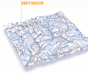 Places with similar names to Wān Ta-hsūm, Myanmar ::
Disclaimer :: Information on this page comes without warranty of any kind |
||
|
Where is Wān Ta-hsūm? Elevation and coordinates ::
Latitude (lat): 21°32'0"N Longitude (lon): 101°7'0"E
Elevation (approx.): 914m (map arrows pan, magnifying glasses zoom) |
||
|
Visiting Wān Ta-hsūm? Hotel/Accommodation ::
Book a hotel in Wān Ta-hsūm Travel Guide ::
Buy a travel guide for Myanmar rental cars ::
car rental offers GPS waypoint ::
download a GPX waypoint (PoI) of Wān Ta-hsūm for your GPS receiver
|
||