|
search place name
|
||
Yamalut (Kachin State, Myanmar)Yamalut is a town in the Kachin State region of Myanmar. An overview map of the region around Yamalut is displayed below.
regional and 3d topo map of Yamalut, Myanmar ::

Yamalut airports ::
The nearest airport is MYT - Myitkyina, located 48.8 km east of Yamalut.
Other airports nearby include PBU - Putao (222.8 km north), Nearby towns ::
Padawngyang (1.9km north) //
Kadawkawng (3.8km south east) //
Hkamti (5.0km south east) //
Tumhputyang (5.6km north) //
Parentu (5.4km east) //
Kawngba (5.8km north) //
Maran (5.4km east) //
Manmawyang (6.5km north east) //
Pumtu (6.5km north west) //
Numnawn (6.7km east) //
Tahkawng (6.7km west) //
Tari (6.9km west) //
Sagbarti (7.5km south east) //
Worakawng (7.5km north east) //
Thayagon (7.7km south east) //
Gurkhaywa (9.0km south east) //
Kawakawng (9.0km north west) //
Wulaw (9.0km north west) //
Sakangyi (10.0km south west) //
[all distances 'as the bird flies' and approximate] 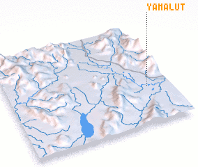 Places with similar names to Yamalut, Myanmar ::
Disclaimer :: Information on this page comes without warranty of any kind |
||
|
Where is Yamalut? Elevation and coordinates ::
Latitude (lat): 25°23'0"N Longitude (lon): 96°52'0"E
Elevation (approx.): 224m (map arrows pan, magnifying glasses zoom) |
||
|
Visiting Yamalut? Hotel/Accommodation ::
Book a hotel in Yamalut Travel Guide ::
Buy a travel guide for Myanmar rental cars ::
car rental offers GPS waypoint ::
download a GPX waypoint (PoI) of Yamalut for your GPS receiver
|
||