|
search place name
|
||
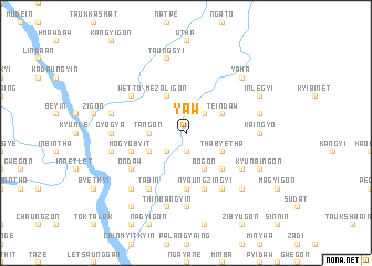
Yaw (Sagaing, Myanmar)Yaw is a town in the Sagaing region of Myanmar. An overview map of the region around Yaw is displayed below.
regional and 3d topo map of Yaw, Myanmar ::
Yaw airports ::
The nearest airport is MDL - Mandalay Intl, located 157.9 km south of Yaw.
Other airports nearby include IMF - Imphal (250.9 km north west), Nearby towns ::
Subokkon (1.9km south) //
Bodegon (2.5km south west) //
Yidwe (2.5km north east) //
Yegyi (3.4km west) //
Tangon (3.4km west) //
Mezaligon (4.1km north west) //
Okpo (3.9km south west) //
Teindaw (3.9km north east) //
Bogon (4.1km south east) //
Thabyetha (3.9km south east) //
Pele (5.0km south east) //
Petthangon (5.6km south) //
Mogyobyit (5.4km west) //
Nyaungzingyi (5.8km south) //
Tabin (6.5km south west) //
Wetto (6.3km north west) //
Ondaw (6.3km south west) //
Mingon (6.5km south east) //
Methe (6.3km south east) //
Mingon (6.8km west) //
Gyogya (6.8km west) //
Nyaungzin (7.4km south) //
Kaingyo (6.8km east) //
Ingadaung (6.8km east) //
Inboktaw (7.1km west) //
Taunggyi (7.6km north) //
Tadaw (7.1km west) //
Kawthandi (7.1km west) //
Magyigon (7.6km south) //
[all distances 'as the bird flies' and approximate] 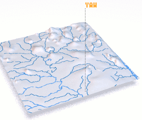 Places with similar names to Yaw, Myanmar ::
Disclaimer :: Information on this page comes without warranty of any kind |
||
|
Where is Yaw? Elevation and coordinates ::
Latitude (lat): 23°4'0"N Longitude (lon): 95°32'0"E
Elevation (approx.): 143m (map arrows pan, magnifying glasses zoom) |
||
|
Visiting Yaw? Hotel/Accommodation ::
Book a hotel in Yaw Travel Guide ::
Buy a travel guide for Myanmar rental cars ::
car rental offers GPS waypoint ::
download a GPX waypoint (PoI) of Yaw for your GPS receiver
|
||