|
search place name
|
||
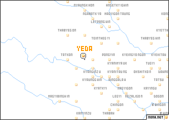
Yeda (Ayeyarwady, Myanmar)Yeda is a town in the Ayeyarwady region of Myanmar. An overview map of the region around Yeda is displayed below.
regional and 3d topo map of Yeda, Myanmar ::
Yeda airports ::
The nearest airport is SNW - Thandwe, located 102.8 km north west of Yeda.
Other airports nearby include RGN - Yangon Intl (159.6 km south east), KYP - Kyaukpyu (232.3 km north west), Nearby towns ::
Seingwin (1.8km east) //
Yebyuzan (1.8km east) //
Kywèzin (2.6km south west) //
Petpyu (2.6km south east) //
Tatkon (3.5km west) //
Ongon (3.5km west) //
Kyanginzu (4.1km south east) //
Yobyè (5.1km south east) //
Teinthegyi (5.1km north east) //
Nyaungchidauk (5.6km north) //
Pongyin (5.3km east) //
Sibingyin (5.8km south) //
Kyaunggwin (5.8km south) //
Pozadaw (6.5km south east) //
Thabyegon (6.6km north west) //
Kyani Myauk (7.3km east) //
Kyatkyi (8.2km south east) //
Kyani Taung (8.0km south east) //
Letpangwin (8.2km north east) //
Nyaunggyin (8.0km north east) //
Maywegon (9.1km north east) //
Ainggalaw (9.0km south east) //
Thabyebin (9.0km south east) //
[all distances 'as the bird flies' and approximate] 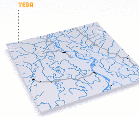 Places with similar names to Yeda, Myanmar ::
Disclaimer :: Information on this page comes without warranty of any kind |
||
|
Where is Yeda? Elevation and coordinates ::
Latitude (lat): 17°59'0"N Longitude (lon): 95°8'0"E
Elevation (approx.): 28m (map arrows pan, magnifying glasses zoom) |
||
|
Visiting Yeda? Hotel/Accommodation ::
Book a hotel in Yeda Travel Guide ::
Buy a travel guide for Myanmar rental cars ::
car rental offers GPS waypoint ::
download a GPX waypoint (PoI) of Yeda for your GPS receiver
|
||