|
search place name
|
||
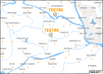
Yegyaw (Yangon, Myanmar)Yegyaw is a town in the Yangon region of Myanmar. An overview map of the region around Yegyaw is displayed below.
regional and 3d topo map of Yegyaw, Myanmar ::
Yegyaw airports ::
The nearest airport is RGN - Yangon Intl, located 19.1 km north east of Yegyaw.
Other airports nearby include SNW - Thandwe (259.8 km north west), Nearby towns ::
Kyidan (2.7km south) //
Tamangyi (3.0km north east) //
Pauktaw (3.6km north west) //
Hkayangyi (4.6km north) //
Tagehle (4.6km south west) //
Pyauk-yo (4.6km east) //
Ywathitgale (4.9km north west) //
Tamatakaw (5.7km north east) //
Kanbè (7.3km south) //
Yegyaw (7.5km north) //
Ale-ywa (7.9km north east) //
Letpangon (8.0km south east) //
Payāgyi (8.0km south east) //
Ma-wun (8.2km north) //
Kalaukcheik (8.3km north east) //
Thawundaw (8.4km west) //
Peikswe (8.7km south east) //
Kanaungto (8.6km east) //
Yangonbauk (9.1km south east) //
Kangyigon (9.0km east) //
Twante (10.9km south west) //
Sabyusu (11.2km north west) //
[all distances 'as the bird flies' and approximate] 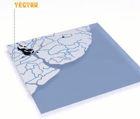 Places with similar names to Yegyaw, Myanmar ::
Disclaimer :: Information on this page comes without warranty of any kind |
||
|
Where is Yegyaw? Elevation and coordinates ::
Latitude (lat): 16°46'53"N Longitude (lon): 96°0'39"E
Elevation (approx.): 8m (map arrows pan, magnifying glasses zoom) |
||
|
Visiting Yegyaw? Hotel/Accommodation ::
Book a hotel in Yegyaw Travel Guide ::
Buy a travel guide for Myanmar rental cars ::
car rental offers GPS waypoint ::
download a GPX waypoint (PoI) of Yegyaw for your GPS receiver
|
||