|
search place name
|
||
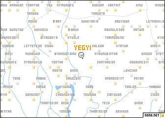
Yegyi (Sagaing, Myanmar)Yegyi is a town in the Sagaing region of Myanmar. An overview map of the region around Yegyi is displayed below.
regional and 3d topo map of Yegyi, Myanmar ::
Yegyi airports ::
The nearest airport is MDL - Mandalay Intl, located 117.6 km south east of Yegyi.
Other airports nearby include HEH - Heho (251.1 km south east), Nearby towns ::
Myinzi (2.5km south east) //
Byainggyaing (3.4km west) //
Kalewa (3.9km north east) //
Kyunlè (4.1km north west) //
Sin-in (4.1km south west) //
Yonzu (5.0km north west) //
Ma-u-bin (5.0km south west) //
Nyaungbintha (5.1km east) //
Yontha (5.5km west) //
Kanthagon (5.5km east) //
Kadozeik (5.8km south) //
Inbauk (5.8km north) //
Mondaw (6.5km north west) //
Mayogon (6.5km south west) //
Namya (6.3km south west) //
Shweyamin (7.6km north) //
Myothit (7.6km north) //
Myagan (7.6km north) //
Inpetlet (7.1km west) //
Zidaw (7.1km west) //
Mabe (7.6km south) //
Ta-naunggaw (7.6km south) //
Wègyi (7.1km west) //
Maya-in (8.2km north west) //
Myohla (8.2km south east) //
Kyudaw (8.2km south west) //
Bitagagya (7.8km north west) //
Mutha (7.8km north west) //
Tabingaung (7.8km north east) //
[all distances 'as the bird flies' and approximate] 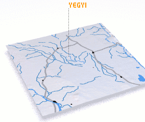 Places with similar names to Yegyi, Myanmar ::
Disclaimer :: Information on this page comes without warranty of any kind |
||
|
Where is Yegyi? Elevation and coordinates ::
Latitude (lat): 22°40'0"N Longitude (lon): 95°30'0"E
Elevation (approx.): 97m (map arrows pan, magnifying glasses zoom) |
||
|
Visiting Yegyi? Hotel/Accommodation ::
Book a hotel in Yegyi Travel Guide ::
Buy a travel guide for Myanmar rental cars ::
car rental offers GPS waypoint ::
download a GPX waypoint (PoI) of Yegyi for your GPS receiver
|
||