|
search place name
|
||
Yungpang (Shan, Myanmar)Yungpang is a town in the Shan region of Myanmar. An overview map of the region around Yungpang is displayed below.
regional and 3d topo map of Yungpang, Myanmar ::

Yungpang airports ::
The nearest airport is LSH - Lashio, located 115.1 km west of Yungpang.
Other airports nearby include KET - Kengtung (225.3 km south), Nearby towns ::
Ving Hseng (2.5km north west) //
Mān La (2.5km south east) //
Mān Ngek (3.7km south) //
Mān Hpa (3.9km north west) //
Mān Hsiang (4.1km north east) //
Mān Hsai (4.1km north east) //
Mān Namsi-yang (5.0km south west) //
Hpa-chang (5.0km north west) //
Pangnoi (5.1km west) //
Nammu (5.6km north) //
Loi-ho-nguk (5.1km east) //
Konglong (5.8km north) //
Yawngsung (5.4km east) //
Ta-lu-pa (6.3km north west) //
Mān Hang (6.5km south east) //
Ho-loi (6.5km north east) //
Mān Maw (6.5km south east) //
Kawngpyek (7.1km west) //
Hsi-hpa-chai (7.6km north west) //
Loi-hkam (7.8km north east) //
Taolu (8.2km north east) //
Mafangchai (9.0km north west) //
Pangtom (8.8km south west) //
Pang Long (8.8km north west) //
[all distances 'as the bird flies' and approximate] 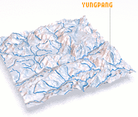 Places with similar names to Yungpang, Myanmar ::
// Yŏngp'ung (KR)
// Ying-p'an-k'ou (TW)
// Yung-p'ing (TW)
// Ying-p'an-k'ou (TW)
// Yang Ping (MM)
// Yang Pong (MM)
// Yawng Pang (MM)
// Yawngpang (MM)
// Yungpang (MM)
// Yüngpang (MM)
Disclaimer :: Information on this page comes without warranty of any kind |
||
|
Where is Yungpang? Elevation and coordinates ::
Latitude (lat): 23°12'0"N Longitude (lon): 98°51'0"E
Elevation (approx.): 889m (map arrows pan, magnifying glasses zoom) |
||
|
Visiting Yungpang? Hotel/Accommodation ::
Book a hotel in Yungpang Travel Guide ::
Buy a travel guide for Myanmar rental cars ::
car rental offers GPS waypoint ::
download a GPX waypoint (PoI) of Yungpang for your GPS receiver
|
||