|
search place name
|
||
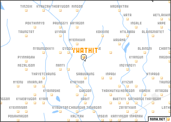
Ywathit (Myanmar)Ywathit is a town in Myanmar. An overview map of the region around Ywathit is displayed below.
regional and 3d topo map of Ywathit, Myanmar ::
Ywathit airports ::
The nearest airport is RGN - Yangon Intl, located 39.4 km south of Ywathit.
Other airports nearby include SNW - Thandwe (244.8 km north west), Nearby towns ::
Wapange (2.6km north east) //
Sabudaung (3.7km south) //
Myenikwin (4.1km north west) //
Nyaunggon (4.0km south west) //
Gyogon (4.0km north west) //
Htipana (5.1km south east) //
Kyatkon (5.8km south) //
Hainggu (5.6km west) //
Taunglonmyaung (5.6km east) //
Nānti (5.6km west) //
Inpadi (6.5km south east) //
Kokkine (6.6km north east) //
Gwegon (7.4km south) //
Wayāgon (7.6km north) //
Kokkodaung (7.6km south) //
Uyinwa (7.7km north west) //
Wādama (8.0km north east) //
Payāgon (9.1km north west) //
Paunggyi (9.1km north west) //
Thakhutku (9.1km south east) //
Thanatpin (9.0km south east) //
Kya-in-ashe (10.3km south west) //
[all distances 'as the bird flies' and approximate] 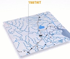 Places with similar names to Ywathit, Myanmar ::
Disclaimer :: Information on this page comes without warranty of any kind |
||
|
Where is Ywathit? Elevation and coordinates ::
Latitude (lat): 17°15'0"N Longitude (lon): 96°14'0"E
Elevation (approx.): 17m (map arrows pan, magnifying glasses zoom) |
||
|
Visiting Ywathit? Hotel/Accommodation ::
Book a hotel in Ywathit Travel Guide ::
Buy a travel guide for Myanmar rental cars ::
car rental offers GPS waypoint ::
download a GPX waypoint (PoI) of Ywathit for your GPS receiver
|
||