|
search place name
|
||
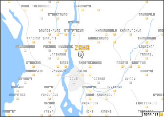
Zaha (Myanmar)Zaha is a town in Myanmar. An overview map of the region around Zaha is displayed below.
regional and 3d topo map of Zaha, Myanmar ::
Zaha airports ::
The nearest airport is MGZ - Myeik, located 192.4 km south of Zaha.
Other airports nearby include HHQ - Prachuap Khiri Khan Hua Hin (250.5 km south east), Nearby towns ::
Maungmeshaung (1.9km north) //
Thabyechaung (2.6km south east) //
Zalun (3.7km south) //
Panthonwa (4.1km south east) //
Sinzeik (4.0km south west) //
Kudo Seik (4.0km north west) //
Daing Chaung (5.2km north east) //
Lan-thaw-in (5.4km west) //
Kamaungdaung (5.4km west) //
Nakhandaw (5.7km west) //
Myatpyezun (5.8km north) //
Dawei (5.8km south) //
Nga Than (6.6km south east) //
Kamyawgyi (6.5km south west) //
Thaukkyabyin (6.5km south west) //
Nattwin (6.6km north west) //
Sakangyi (7.2km west) //
Kyaukyat (7.6km south) //
Pokaing (7.4km west) //
Nyetwe (7.6km north) //
Khamaunghla (7.7km north east) //
Myohaung (7.7km north west) //
Yandaik (8.1km north east) //
Sinpunit (8.1km north west) //
Kadwe (9.1km north east) //
Thabya (9.2km south east) //
Taungbo (9.2km south east) //
Daung-shaung (9.1km north west) //
Byat-than (10.3km south east) //
[all distances 'as the bird flies' and approximate] 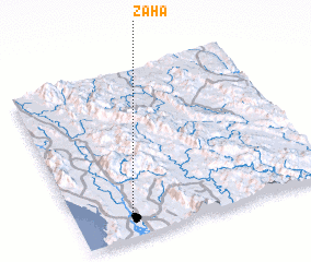 Places with similar names to Zaha, Myanmar ::
Disclaimer :: Information on this page comes without warranty of any kind |
||
|
Where is Zaha? Elevation and coordinates ::
Latitude (lat): 14°8'0"N Longitude (lon): 98°13'0"E
Elevation (approx.): 12m (map arrows pan, magnifying glasses zoom) |
||
|
Visiting Zaha? Hotel/Accommodation ::
Book a hotel in Zaha Travel Guide ::
Buy a travel guide for Myanmar rental cars ::
car rental offers GPS waypoint ::
download a GPX waypoint (PoI) of Zaha for your GPS receiver
|
||