|
search place name
|
||
Blondel (Algeria)Blondel is a town in Algeria. An overview map of the region around Blondel is displayed below.
regional and 3d topo map of Blondel, Algeria ::

Blondel airports ::
The nearest airport is BJA - Bejaja Soummam, located 71.0 km north east of Blondel.
Other airports nearby include GJL - Jijel (125.9 km north east), ALG - Algier Houari Boumediene (149.5 km north west), CZL - Constantine Mohamed Boudiaf Intl (170.4 km east), BSK - Biskra (174.4 km south east), Nearby towns ::
Oulad Mahamel (5.8km north east) //
Medjana (5.9km west) //
Mechta Ouled Mehenni (6.0km east) //
Oulad Mahdi (7.4km north) //
Bordj Bou Arreridj (7.5km south east) //
Mechtat el Firane (8.7km north east) //
[all distances 'as the bird flies' and approximate] 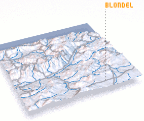 Places with similar names to Blondel, Algeria ::
// Blundale (US)
// Buluntalay (RU)
// Bolindale (US)
// Bilundule (CD)
// Balin Dol (MK)
// Buluntuli (MK)
// Balindala (GN)
// Balinndala (ML)
// Bilantal (ML)
// Ballendella (AU)
Disclaimer :: Information on this page comes without warranty of any kind |
||
|
Where is Blondel? Elevation and coordinates ::
Latitude (lat): 36°8'0"N Longitude (lon): 4°44'0"E
Elevation (approx.): 1041m (map arrows pan, magnifying glasses zoom) |
||
|
Visiting Blondel? Hotel/Accommodation ::
Book a hotel in Blondel Travel Guide ::
Buy a travel guide for Algeria rental cars ::
car rental offers GPS waypoint ::
download a GPX waypoint (PoI) of Blondel for your GPS receiver
|
||