|
search place name
|
||
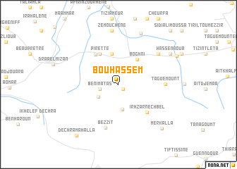
Bou Hassem (Tizi Ouzou, Algeria)Bou Hassem is a town in the Tizi Ouzou region of Algeria. An overview map of the region around Bou Hassem is displayed below.
regional and 3d topo map of Bou Hassem, Algeria ::
Bou Hassem airports ::
The nearest airport is ALG - Algier Houari Boumediene, located 66.8 km west of Bou Hassem.
Other airports nearby include BJA - Bejaja Soummam (104.8 km east), GJL - Jijel (177.0 km east), BSK - Biskra (251.1 km south east), Nearby towns ::
Bou Nouh (0.9km south east) //
Beni Matas (2.5km west) //
Oulad Ali (3.3km south west) //
Halouane (4.0km south) //
Boghni (4.6km north east) //
Azib Cheïkh (4.9km north) //
Pirette (5.4km north west) //
ʼAïn Zaouia (5.5km north west) //
Irhzar-Nechbel (5.7km south east) //
Bezzit (7.0km south) //
Taguemount (6.0km east) //
Bou Allah (7.0km north east) //
Zemouchene (8.6km north) //
Irhil Bou Addou (8.5km north) //
Hassenaoua (8.2km north east) //
Merkalla (8.9km south east) //
Dechra Mahalla (9.7km south west) //
Sidi Ali Moussa (10.8km north east) //
[all distances 'as the bird flies' and approximate] 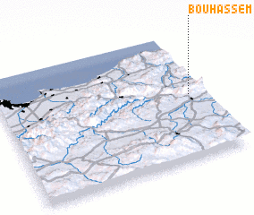
Disclaimer :: Information on this page comes without warranty of any kind |
||
|
Where is Bou Hassem? Elevation and coordinates ::
Latitude (lat): 36°30'23"N Longitude (lon): 3°55'35"E
Elevation (approx.): 538m (map arrows pan, magnifying glasses zoom) |
||
|
Visiting Bou Hassem? Hotel/Accommodation ::
Book a hotel in Bou Hassem Travel Guide ::
Buy a travel guide for Algeria rental cars ::
car rental offers GPS waypoint ::
download a GPX waypoint (PoI) of Bou Hassem for your GPS receiver
|
||