|
search place name
|
||
Bou Noua (Algeria)Bou Noua is a town in Algeria. An overview map of the region around Bou Noua is displayed below.
regional and 3d topo map of Bou Noua, Algeria ::

Bou Noua airports ::
The nearest airport is ALG - Algier Houari Boumediene, located 53.6 km south west of Bou Noua.
Other airports nearby include BJA - Bejaja Soummam (117.9 km east), Nearby towns ::
Abd el Ouiret Si Ali (1.5km west) //
Mazer (2.0km west) //
Djennad (3.0km south west) //
Alm Denane el Homadna (3.5km south west) //
Djinet (3.9km west) //
El Hʼmadna (4.2km south west) //
Bennabri (4.8km south) //
Rouria (4.7km south west) //
El Rhoraf (5.8km south) //
Mʼkhakhcha (5.4km south west) //
Benouali (5.8km south west) //
El Harrach (5.2km south west) //
Guelfene (5.8km south east) //
Oulad Zerarka (7.4km south) //
Oulad Taleb (6.2km east) //
Djerabet (7.3km south east) //
Douar Nouacer (7.5km south west) //
Ouled Ali (8.4km south) //
Takdempt (7.1km east) //
Ouled Smir (8.5km south) //
Boumlih (8.4km south west) //
Ouled Ghnim (8.5km south west) //
Guerebissa (9.5km south east) //
Haouch Bel ʼAbbes (9.5km south west) //
[all distances 'as the bird flies' and approximate] 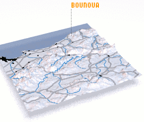 Places with similar names to Bou Noua, Algeria ::
Disclaimer :: Information on this page comes without warranty of any kind |
||
|
Where is Bou Noua? Elevation and coordinates ::
Latitude (lat): 36°53'0"N Longitude (lon): 3°46'0"E
Elevation (approx.): 241m (map arrows pan, magnifying glasses zoom) |
||
|
Visiting Bou Noua? Hotel/Accommodation ::
Book a hotel in Bou Noua Travel Guide ::
Buy a travel guide for Algeria rental cars ::
car rental offers GPS waypoint ::
download a GPX waypoint (PoI) of Bou Noua for your GPS receiver
|
||