|
search place name
|
||
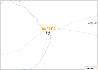
Djelfa (Djelfa, Algeria)Djelfa is a town in the Djelfa region of Algeria. An overview map of the region around Djelfa is displayed below.
regional and 3d topo map of Djelfa, Algeria ::
Djelfa airports ::
The nearest airport is LOO - Laghouat, located 104.4 km south of Djelfa.
Other airports nearby include TID - Tiaret Bou Chekif (179.5 km north west), HRM - Tilrempt Hassi R Mel (192.7 km south), QAS - Ech-cheliff Ech Cheliff (244.4 km north west), Nearby towns ::
[all distances 'as the bird flies' and approximate] 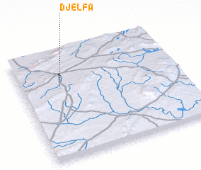
Disclaimer :: Information on this page comes without warranty of any kind |
||
|
Where is Djelfa? Elevation and coordinates ::
Latitude (lat): 34°40'0"N Longitude (lon): 3°15'0"E
Elevation (approx.): 1155m (map arrows pan, magnifying glasses zoom) |
||
|
Visiting Djelfa? Hotel/Accommodation ::
Book a hotel in Djelfa Travel Guide ::
Buy a travel guide for Algeria rental cars ::
car rental offers GPS waypoint ::
download a GPX waypoint (PoI) of Djelfa for your GPS receiver
|
||