|
search place name
|
||
Er Ref (Tipaza, Algeria)Er Ref is a town in the Tipaza region of Algeria. An overview map of the region around Er Ref is displayed below.
regional and 3d topo map of Er Ref, Algeria ::

Er Ref airports ::
The nearest airport is QAS - Ech-cheliff Ech Cheliff, located 45.7 km south west of Er Ref.
Other airports nearby include TID - Tiaret Bou Chekif (130.5 km south), ALG - Algier Houari Boumediene (137.7 km east), MUW - Ghriss (200.4 km south west), Nearby towns ::
Kalâa (1.4km north) //
Thaddart Takedimte (1.7km north) //
Thigharmine (1.4km east) //
Bihtita (1.6km north east) //
Fertene (1.5km west) //
Er Raf (1.9km west) //
Mhatar (2.4km north) //
At el Kef (2.4km north east) //
Lazib (2.6km south) //
Lari Ouzou (2.9km south) //
Bou Yanoub (2.8km north west) //
Lekhlidj (3.6km south west) //
Tizouirt (3.7km north east) //
Bou Yaghad (3.6km west) //
Bou Moumene (3.7km west) //
Imadrane (4.0km east) //
Damous (5.2km north) //
Henouf (4.5km south west) //
Idjdhikth (4.4km west) //
Douar Beni Zioui (5.6km north) //
Daddaïni (5.4km south east) //
Tahanout (5.4km north east) //
Bou Yamene (6.2km south) //
Domaine Sidi Hassen (6.1km north east) //
Hanoui Aïd (5.8km north west) //
Bou Hnana (6.4km south east) //
El Mokhfi (6.4km south east) //
Beni Mileuk (6.7km south) //
El Harchia (6.9km south) //
[all distances 'as the bird flies' and approximate] 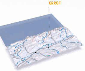 Places with similar names to Er Ref, Algeria ::
Disclaimer :: Information on this page comes without warranty of any kind |
||
|
Where is Er Ref? Elevation and coordinates ::
Latitude (lat): 36°30'6"N Longitude (lon): 1°41'42"E
Elevation (approx.): 389m (map arrows pan, magnifying glasses zoom) |
||
|
Visiting Er Ref? Hotel/Accommodation ::
Book a hotel in Er Ref Travel Guide ::
Buy a travel guide for Algeria rental cars ::
car rental offers GPS waypoint ::
download a GPX waypoint (PoI) of Er Ref for your GPS receiver
|
||