|
search place name
|
||
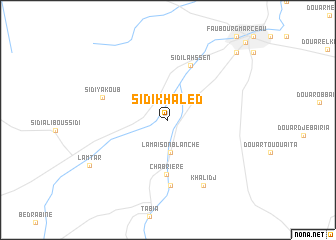
Sidi Khâled (Sidi Bel Abbès, Algeria)Sidi Khâled is a town in the Sidi Bel Abbès region of Algeria. An overview map of the region around Sidi Khâled is displayed below.
regional and 3d topo map of Sidi Khâled, Algeria ::
Sidi Khâled airports ::
The nearest airport is TAF - Oran Tafaraoui, located 50.3 km north of Sidi Khâled.
Other airports nearby include ORN - Oran Es Senia (57.1 km north), TLM - Tlemcen Zenata (67.6 km west), MUW - Ghriss (79.6 km east), OUD - Oujda Angads (115.9 km west), Nearby towns ::
La Maison Blanche (3.6km south) //
Chabrière (6.1km south) //
Sidi Lahssen (6.4km north) //
Boukhanefis (7.3km south) //
Sidi Yaʼkoûb (6.5km north west) //
Bendida (8.0km south east) //
Khalidj (8.0km south east) //
Lamtâr (8.8km south west) //
Faubourg Thiers (9.8km north east) //
Sidi Bel Abbès (11.2km north east) //
[all distances 'as the bird flies' and approximate] 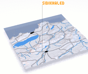 Places with similar names to Sidi Khâled, Algeria ::
// Sidi Khaled (DZ)
// Stockhult (SE)
Disclaimer :: Information on this page comes without warranty of any kind |
||
|
Where is Sidi Khâled? Elevation and coordinates ::
Latitude (lat): 35°6'57"N Longitude (lon): 0°43'9"W
Elevation (approx.): 525m (map arrows pan, magnifying glasses zoom) |
||
|
Visiting Sidi Khâled? Hotel/Accommodation ::
Book a hotel in Sidi Khâled Travel Guide ::
Buy a travel guide for Algeria rental cars ::
car rental offers GPS waypoint ::
download a GPX waypoint (PoI) of Sidi Khâled for your GPS receiver
|
||