|
search place name
|
||
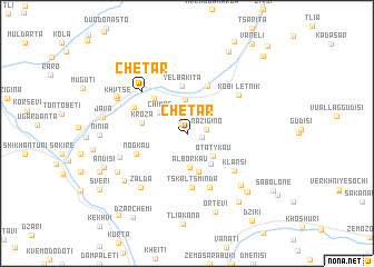
Chetar (Abashis Raioni, Georgia)Chetar is a town in the Abashis Raioni region of Georgia. An overview map of the region around Chetar is displayed below.
regional and 3d topo map of Chetar, Georgia ::
Chetar airports ::
The nearest airport is MRV - Mineralnye Vody Mineralnyye Vody, located 217.9 km north of Chetar.
Nearby towns ::
Kasatikay (1.1km north west) //
Tsru (1.2km east) //
Nazigino (1.5km east) //
Sazeleti (3.4km north) //
Alʼborkau (3.4km south) //
Otatykau (3.0km south east) //
Chimas (2.9km north west) //
Geri (3.6km south east) //
Tsiara (3.9km south) //
Kroza (3.5km west) //
Yelbakita (4.8km north) //
Tsifgina (4.3km north west) //
Rokata (5.0km north) //
Tskaltsminda (5.4km south) //
Nogkau (4.3km south west) //
Kʼvemo Khvtse (4.7km north west) //
Mipareti (5.7km south) //
Klarsi (5.1km south east) //
Chetar (5.4km north west) //
Letnik Kobi (5.5km north east) //
Bordzhnis (6.3km north west) //
Zalda (6.4km south west) //
Dzhria (5.6km south west) //
Maraleti (6.5km south east) //
Khvtse (6.2km north west) //
Kitsina (6.7km south west) //
Vuallag-Khvtse (6.4km north west) //
Medoita (6.4km south west) //
Ortevi (8.1km south) //
[all distances 'as the bird flies' and approximate]  Places with similar names to Chetar, Georgia ::
Disclaimer :: Information on this page comes without warranty of any kind |
||
|
Where is Chetar? Elevation and coordinates ::
Latitude (lat): 42°23'6"N Longitude (lon): 44°0'45"E
Elevation (approx.): 1403m (map arrows pan, magnifying glasses zoom) |
||
|
Visiting Chetar? Hotel/Accommodation ::
Book a hotel in Chetar Travel Guide ::
Buy a travel guide for Georgia rental cars ::
car rental offers GPS waypoint ::
download a GPX waypoint (PoI) of Chetar for your GPS receiver
|
||