|
search place name
|
||
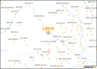
Lomisi (Abashis Raioni, Georgia)Lomisi is a town in the Abashis Raioni region of Georgia. An overview map of the region around Lomisi is displayed below.
regional and 3d topo map of Lomisi, Georgia ::
Nearby towns ::
Gvirgvina (0.8km north) //
Lopani (1.6km north) //
Chʼorchʼana (3.7km south) //
Titvinistskaro (3.7km south) //
Tsnelisi (3.0km south east) //
Kaleti (4.1km east) //
Zemo-Brolosani (5.6km south) //
Koda (4.4km south east) //
Metekhi (4.9km north east) //
Kvemo-Brolosani (5.9km south) //
Kldistskaro (5.5km south east) //
Baltʼa (4.7km east) //
Kobi (5.5km south east) //
Tsagvli (6.3km south east) //
Bziskhevi (6.8km north) //
Patkineti (5.5km north east) //
Tskhetisdzhvari (7.4km south) //
Puchnari (7.5km north) //
Chvrinisi (5.8km east) //
Kindzati (7.7km south) //
Utslevi (7.3km south west) //
Isakkau (6.7km east) //
Ali (8.9km south) //
Satsikhuri (7.8km south east) //
Ninisi (7.4km south west) //
Tkotsa (8.7km south east) //
Nagutni (9.1km north east) //
Pichidzhina (9.2km north east) //
Abisistavi (9.2km south east) //
[all distances 'as the bird flies' and approximate] 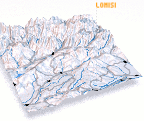 Places with similar names to Lomisi, Georgia ::
Disclaimer :: Information on this page comes without warranty of any kind |
||
|
Where is Lomisi? Elevation and coordinates ::
Latitude (lat): 42°10'0"N Longitude (lon): 43°40'0"E
Elevation (approx.): 1013m (map arrows pan, magnifying glasses zoom) |
||
|
Visiting Lomisi? Hotel/Accommodation ::
Book a hotel in Lomisi Travel Guide ::
Buy a travel guide for Georgia rental cars ::
car rental offers GPS waypoint ::
download a GPX waypoint (PoI) of Lomisi for your GPS receiver
|
||