|
search place name
|
||
Nakiyeti (Abashis Raioni, Georgia)Nakiyeti is a town in the Abashis Raioni region of Georgia. An overview map of the region around Nakiyeti is displayed below.
regional and 3d topo map of Nakiyeti, Georgia ::

Nakiyeti airports ::
The nearest airport is MRV - Mineralnye Vody Mineralnyye Vody, located 181.2 km north of Nakiyeti.
Nearby towns ::
Dzhinchvisi (0.8km south) //
Nigavzebi (1.3km south east) //
Utsera (2.8km north east) //
Gomi (2.7km east) //
Paravneshi (3.3km west) //
Dzeglevi (3.5km west) //
Bortso (4.8km west) //
Gari (5.2km south west) //
Onchevi (7.0km south) //
Lagvanta (5.8km west) //
Kʼvedi (7.5km south) //
Sakao (6.2km west) //
Sorgiti (8.7km south) //
Pipiletʼi (8.7km south) //
Tsola (8.1km south west) //
Tsmendauri (7.7km south west) //
Skhanari (9.3km south) //
Somitso (8.9km south west) //
Zhashkva (9.7km south west) //
[all distances 'as the bird flies' and approximate] 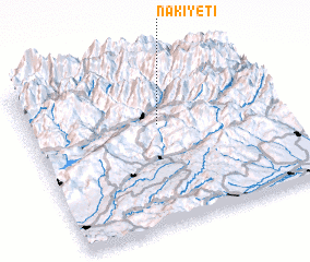 Places with similar names to Nakiyeti, Georgia ::
// Neykhyute (UA)
// Ngouye Ouadé (SN)
Disclaimer :: Information on this page comes without warranty of any kind |
||
|
Where is Nakiyeti? Elevation and coordinates ::
Latitude (lat): 42°37'34"N Longitude (lon): 43°31'28"E
Elevation (approx.): 1030m (map arrows pan, magnifying glasses zoom) |
||
|
Visiting Nakiyeti? Hotel/Accommodation ::
Book a hotel in Nakiyeti Travel Guide ::
Buy a travel guide for Georgia rental cars ::
car rental offers GPS waypoint ::
download a GPX waypoint (PoI) of Nakiyeti for your GPS receiver
|
||