|
search place name
|
||
Pkhvenisi (Abashis Raioni, Georgia)Pkhvenisi is a town in the Abashis Raioni region of Georgia. An overview map of the region around Pkhvenisi is displayed below.
regional and 3d topo map of Pkhvenisi, Georgia ::

Nearby towns ::
Megvrekisi (2.7km north east) //
Shindisi (3.7km south) //
Kʼvemo Nikʼozi (4.2km north) //
Kvemo-Khviti (3.4km west) //
Brotsleti (4.0km north east) //
Zemo-Khviti (4.5km north west) //
Ergneti (5.7km north) //
Kelktseuli (4.6km south west) //
Tirdznisi (5.0km north east) //
Zemo-Nikozi (6.0km north west) //
Shertuli (5.8km south east) //
Sakasheti (7.1km south) //
Tergvisi (6.2km north east) //
Dzlevisjvari (6.7km south west) //
Marana (6.1km east) //
Dits'i (7.4km north east) //
Tqviavi (6.3km east) //
Tsʼkhinvali (8.6km north) //
Prisi (8.9km north) //
Dzevera (8.1km south east) //
Karbi (7.5km north east) //
Kusireti (9.3km north) //
Kordi (9.2km north east) //
[all distances 'as the bird flies' and approximate] 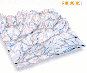 Places with similar names to Pkhvenisi, Georgia :: Disclaimer :: Information on this page comes without warranty of any kind |
||
|
Where is Pkhvenisi? Elevation and coordinates ::
Latitude (lat): 42°9'20"N Longitude (lon): 43°59'25"E
Elevation (approx.): 788m (map arrows pan, magnifying glasses zoom) |
||
|
Visiting Pkhvenisi? Hotel/Accommodation ::
Book a hotel in Pkhvenisi Travel Guide ::
Buy a travel guide for Georgia rental cars ::
car rental offers GPS waypoint ::
download a GPX waypoint (PoI) of Pkhvenisi for your GPS receiver
|
||