|
search place name
|
||
Tegenekli (Abashis Raioni, Georgia)Tegenekli is a town in the Abashis Raioni region of Georgia. An overview map of the region around Tegenekli is displayed below.
regional and 3d topo map of Tegenekli, Georgia ::

Tegenekli airports ::
The nearest airport is MRV - Mineralnye Vody Mineralnyye Vody, located 115.5 km north of Tegenekli.
Other airports nearby include STW - Stavropol Shpakovskoye (210.6 km north), Nearby towns ::
Ksisyuryulgen (1.4km west) //
Tegenekli (1.4km east) //
El'brus (4.2km north east) //
Dzhaga (4.1km east) //
Terskol (6.0km west) //
[all distances 'as the bird flies' and approximate] 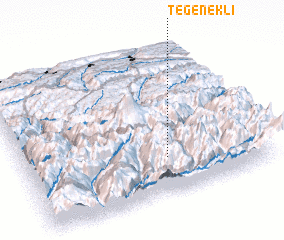 Places with similar names to Tegenekli, Georgia ::
// Tegenekli (RU)
// Djangala (CF)
// Djangala (CF)
// Djangala (CF)
// Djangoul (TD)
// Djongula (CD)
// Djuangole (CD)
// Tejen Kolā (IR)
// Taejin-gol (KP)
// Tojang-gol (KP)
Disclaimer :: Information on this page comes without warranty of any kind |
||
|
Where is Tegenekli? Elevation and coordinates ::
Latitude (lat): 43°14'47"N Longitude (lon): 42°35'58"E
Elevation (approx.): 1877m (map arrows pan, magnifying glasses zoom) |
||
|
Visiting Tegenekli? Hotel/Accommodation ::
Book a hotel in Tegenekli Travel Guide ::
Buy a travel guide for Georgia rental cars ::
car rental offers GPS waypoint ::
download a GPX waypoint (PoI) of Tegenekli for your GPS receiver
|
||