|
search place name
|
||
Angicos (Rio Grande do Norte, Brazil)Angicos is a town in the Rio Grande do Norte region of Brazil. An overview map of the region around Angicos is displayed below.
regional and 3d topo map of Angicos, Brazil ::

Angicos airports ::
The nearest airport is FOR - Fortaleza Pinto Martins Intl, located 213.5 km north west of Angicos.
Nearby towns ::
Lajes (3.0km south east) //
Forquilha (4.1km north west) //
Baixa da Alegria (5.4km south east) //
Estreito (6.1km north west) //
Pai Antônio (6.9km south east) //
Curral de Baixo (7.1km south) //
Picada (8.4km west) //
Santana (8.5km south) //
São Carlos (8.7km west) //
Rincão (8.7km north) //
Mossoró (9.0km north west) //
Baixa da Aroeira (9.6km south west) //
Camurupim (9.7km south west) //
Poço das Pedras (10.5km north east) //
Juàzeirinho (10.5km north west) //
Mulungu (10.9km south east) //
[all distances 'as the bird flies' and approximate] 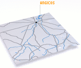 Places with similar names to Angicos, Brazil ::
Disclaimer :: Information on this page comes without warranty of any kind |
||
|
Where is Angicos? Elevation and coordinates ::
Latitude (lat): 5°15'35"S Longitude (lon): 37°18'5"W
Elevation (approx.): 20m (map arrows pan, magnifying glasses zoom) |
||
|
Visiting Angicos? Hotel/Accommodation ::
Book a hotel in Angicos Travel Guide ::
Buy a travel guide for Brazil rental cars ::
car rental offers GPS waypoint ::
download a GPX waypoint (PoI) of Angicos for your GPS receiver
|
||