|
search place name
|
||
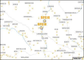
Areia (Maranhão, Brazil)Areia is a town in the Maranhão region of Brazil. An overview map of the region around Areia is displayed below.
regional and 3d topo map of Areia, Brazil ::
Areia airports ::
The nearest airport is THE - Teresina Senador Petronio Portella, located 135.1 km south of Areia.
Other airports nearby include SLZ - Sao Luis Marechal Cunha Machado Intl (192.8 km north west), Nearby towns ::
Espingarda (0.9km south) //
Engenho Velho (1.4km north) //
Chiqueiro (1.8km north west) //
Laranjeiras (2.8km south) //
Areia (3.4km north east) //
Travessão (4.0km west) //
Capão (4.2km west) //
Rio Preto I (4.5km north) //
Calumbi (5.0km south) //
Baixinha (5.5km north) //
Carranca (6.1km south) //
Mato Seco (6.2km south) //
Baixinha dos Flores (6.3km north) //
Ingá (6.6km east) //
Cabeça do Cavalo (7.0km east) //
Nambu (7.3km north) //
Cocal (7.5km south west) //
Bacaba (7.7km south west) //
Marques (7.7km west) //
Faveira (7.7km south east) //
Sambaibal (7.8km north west) //
Marajá (7.8km west) //
Jacu (8.3km south west) //
Pimenta (8.6km north east) //
Matinha (8.7km south east) //
Negro (8.8km west) //
Baixa do Capim (9.1km west) //
Todos os Santos (9.1km north east) //
Olho-dʼÁgua (9.5km north east) //
[all distances 'as the bird flies' and approximate] 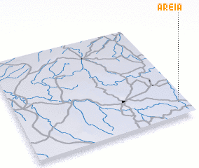 Places with similar names to Areia, Brazil ::
Disclaimer :: Information on this page comes without warranty of any kind |
||
|
Where is Areia? Elevation and coordinates ::
Latitude (lat): 3°51'33"S Longitude (lon): 43°2'58"W
Elevation (approx.): 99m (map arrows pan, magnifying glasses zoom) |
||
|
Visiting Areia? Hotel/Accommodation ::
Book a hotel in Areia Travel Guide ::
Buy a travel guide for Brazil rental cars ::
car rental offers GPS waypoint ::
download a GPX waypoint (PoI) of Areia for your GPS receiver
|
||