|
search place name
|
||
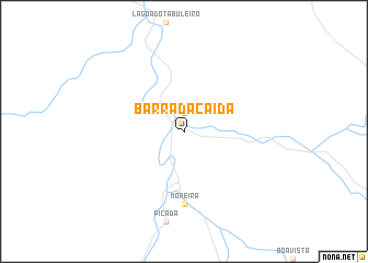
Barra da Caída (Piauí, Brazil)Barra da Caída is a town in the Piauí region of Brazil. An overview map of the region around Barra da Caída is displayed below.
regional and 3d topo map of Barra da Caída, Brazil ::
Barra da Caída airports ::
The nearest airport is PNZ - Petrolina Senador Nilo Coelho, located 193.2 km south east of Barra da Caída.
Nearby towns ::
Passagem Nova (1.9km north) //
Moreira (7.4km south) //
[all distances 'as the bird flies' and approximate] 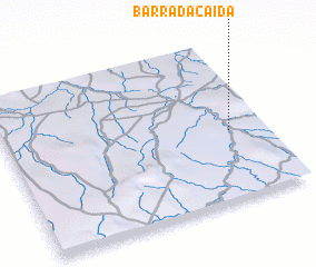 Places with similar names to Barra da Caída, Brazil ::
// Bredegatt (DE)
// Bradgate (US)
// Baratkot (PK)
// Bourèdagadou (GN)
// Broadgate (JM)
// Barra do Cuieté (BR)
// Brady Gate (US)
Disclaimer :: Information on this page comes without warranty of any kind |
||
|
Where is Barra da Caída? Elevation and coordinates ::
Latitude (lat): 8°34'0"S Longitude (lon): 42°8'0"W
Elevation (approx.): 282m (map arrows pan, magnifying glasses zoom) |
||
|
Visiting Barra da Caída? Hotel/Accommodation ::
Book a hotel in Barra da Caída Travel Guide ::
Buy a travel guide for Brazil rental cars ::
car rental offers GPS waypoint ::
download a GPX waypoint (PoI) of Barra da Caída for your GPS receiver
|
||