|
search place name
|
||
Bitenambi (Bahia, Brazil)Bitenambi is a town in the Bahia region of Brazil. An overview map of the region around Bitenambi is displayed below.
regional and 3d topo map of Bitenambi, Brazil ::

Bitenambi airports ::
The nearest airport is IOS - Ilheus, located 145.4 km south of Bitenambi.
Other airports nearby include SSA - Salvador Deputado Luis Eduardo Magalhaes (146.9 km north east), Nearby towns ::
Laje do Rio Prêto (1.9km south) //
Prata (2.6km north east) //
Burietá (5.2km north east) //
Emprêsa (5.6km south) //
Baixinha (5.8km north) //
Buris dos Lopes (8.2km north east) //
[all distances 'as the bird flies' and approximate] 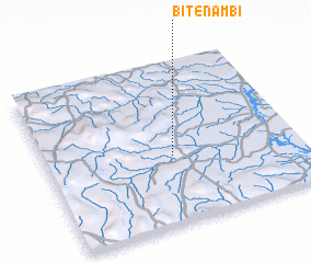 Places with similar names to Bitenambi, Brazil ::
// Betenama (ES)
// Betainomby (MG)
// Batu Enam (MY)
// Bedanum (MY)
// Botanamo (VE)
// Bodinumu (PG)
// Bayt Nāʼim (SY)
// Bayt an Na‘ām (YE)
// Bayt Na‘āmah (YE)
// Bayt Nā‘im (YE)
Disclaimer :: Information on this page comes without warranty of any kind |
||
|
Where is Bitenambi? Elevation and coordinates ::
Latitude (lat): 13°35'0"S Longitude (lon): 39°30'0"W
Elevation (approx.): 210m (map arrows pan, magnifying glasses zoom) |
||
|
Visiting Bitenambi? Hotel/Accommodation ::
Book a hotel in Bitenambi Travel Guide ::
Buy a travel guide for Brazil rental cars ::
car rental offers GPS waypoint ::
download a GPX waypoint (PoI) of Bitenambi for your GPS receiver
|
||