|
search place name
|
||
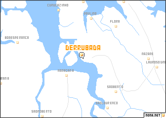
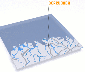
Derrubada (Pará, Brazil)Derrubada is a town in the Pará region of Brazil. An overview map of the region around Derrubada is displayed below.
regional and 3d topo map of Derrubada, Brazil ::
Derrubada airports ::
The nearest airport is BEL - Belem Val De Cans Intl, located 137.9 km south west of Derrubada.
Nearby towns ::
 Places with similar names to Derrubada, Brazil ::
// Douar Biada (MA)
// Terebety (RU)
// Terebut (RU)
// Turabad (AZ)
// Terbat (MY)
// Turbuţa (RO)
// Dawwār Bed (TN)
// Douar Rebta (TN)
// Trabada (ES)
// Trabada (ES)
Disclaimer :: Information on this page comes without warranty of any kind |
||
|
Where is Derrubada? Elevation and coordinates ::
Latitude (lat): 0°44'0"S Longitude (lon): 47°25'0"W
Elevation (approx.): 13m (map arrows pan, magnifying glasses zoom) |
||
|
Visiting Derrubada? Hotel/Accommodation ::
Book a hotel in Derrubada Travel Guide ::
Buy a travel guide for Brazil rental cars ::
car rental offers GPS waypoint ::
download a GPX waypoint (PoI) of Derrubada for your GPS receiver
|
||