|
search place name
|
||
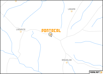
Ponta Cal (Mato Grosso do Sul, Brazil)Ponta Cal is a town in the Mato Grosso do Sul region of Brazil. An overview map of the region around Ponta Cal is displayed below.
regional and 3d topo map of Ponta Cal, Brazil ::
Ponta Cal airports ::
The nearest airport is PMG - Ponta Pora, located 43.8 km west of Ponta Cal.
Nearby towns ::
[all distances 'as the bird flies' and approximate] 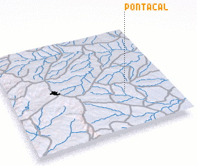 Places with similar names to Ponta Cal, Brazil ::
// Pandekali (CD)
// Pindical (EC)
// Penda Kula (KE)
// Pāndi Koli (PK)
// Pind Galoi (PK)
// Pindi Kālu (PK)
// Pind Kāla (PK)
// Pandae-gol (KP)
// Pandu-gol (KP)
// Punt'o-gol (KP)
Disclaimer :: Information on this page comes without warranty of any kind |
||
|
Where is Ponta Cal? Elevation and coordinates ::
Latitude (lat): 22°37'0"S Longitude (lon): 55°17'0"W
Elevation (approx.): 554m (map arrows pan, magnifying glasses zoom) |
||
|
Visiting Ponta Cal? Hotel/Accommodation ::
Book a hotel in Ponta Cal Travel Guide ::
Buy a travel guide for Brazil rental cars ::
car rental offers GPS waypoint ::
download a GPX waypoint (PoI) of Ponta Cal for your GPS receiver
|
||