|
search place name
|
||
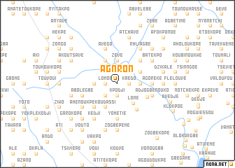
Agnron (Togo)Agnron is a town in Togo. An overview map of the region around Agnron is displayed below.
regional and 3d topo map of Agnron, Togo ::
Agnron airports ::
The nearest airport is LFW - Lome Gnassingbe Eyadema Intl, located 49.1 km south east of Agnron.
Other airports nearby include COO - Cotonou Cadjehoun (156.0 km east), ACC - Accra Kotoka Intl (162.4 km south west), Nearby towns ::
Kaédo (1.9km north) //
Lomoé (1.8km west) //
Agotimé (1.8km east) //
Diakopé (1.9km south) //
Kpodji (1.9km south) //
Komikopé (1.9km south) //
Kaédo (1.8km east) //
Gbafa Kopé (2.6km south west) //
Zévé (3.7km north) //
Bédjikpé (3.7km west) //
Ziovémé (3.7km east) //
Lomé (4.0km south east) //
Agblédo (4.1km north west) //
Nagblé Kopé (4.1km north west) //
Kpédji (4.1km north east) //
Atiagomé (4.1km south west) //
Koudassi (4.1km south west) //
Yométchin (5.2km south east) //
Abidikopé (5.2km north east) //
Anha (5.2km south west) //
Avévoen (5.2km south east) //
Yométié (5.6km south) //
Atchavé (5.6km south) //
Agoréké (5.5km east) //
Abazikopé (5.5km east) //
Avégo (5.9km north) //
Abolégbé (5.8km west) //
Adjogbénouko (5.8km east) //
Kédji (6.7km south west) //
[all distances 'as the bird flies' and approximate] 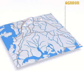
Disclaimer :: Information on this page comes without warranty of any kind |
||
|
Where is Agnron? Elevation and coordinates ::
Latitude (lat): 6°31'0"N Longitude (lon): 0°59'0"W
Elevation (approx.): 87m (map arrows pan, magnifying glasses zoom) |
||
|
Visiting Agnron? Hotel/Accommodation ::
Book a hotel in Agnron Travel Guide ::
Buy a travel guide for Togo rental cars ::
car rental offers GPS waypoint ::
download a GPX waypoint (PoI) of Agnron for your GPS receiver
|
||