|
search place name
|
||
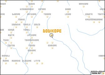
Dodikopé (Togo)Dodikopé is a town in Togo. An overview map of the region around Dodikopé is displayed below.
regional and 3d topo map of Dodikopé, Togo ::
Dodikopé airports ::
The nearest airport is LFW - Lome Gnassingbe Eyadema Intl, located 115.3 km south of Dodikopé.
Other airports nearby include COO - Cotonou Cadjehoun (188.5 km south east), ACC - Accra Kotoka Intl (204.0 km south west), Nearby towns ::
Avébadié (1.9km south) //
Torossi (2.6km south west) //
Edakopé (3.7km south) //
Godzo (6.6km north west) //
Latikopé (7.4km west) //
Tokpognikopé (7.6km west) //
Gazalui (7.6km north) //
Tomané (7.6km north) //
Yosiou (8.2km south west) //
Lemmé (9.2km north east) //
Kouakopé (9.2km north east) //
Siokopé (9.2km south west) //
Guégueu (9.2km south west) //
Kayikopé (10.4km north west) //
[all distances 'as the bird flies' and approximate] 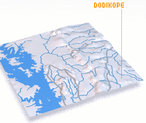 Places with similar names to Dodikopé, Togo ::
Disclaimer :: Information on this page comes without warranty of any kind |
||
|
Where is Dodikopé? Elevation and coordinates ::
Latitude (lat): 7°8'0"N Longitude (lon): 0°52'0"W
Elevation (approx.): 238m (map arrows pan, magnifying glasses zoom) |
||
|
Visiting Dodikopé? Hotel/Accommodation ::
Book a hotel in Dodikopé Travel Guide ::
Buy a travel guide for Togo rental cars ::
car rental offers GPS waypoint ::
download a GPX waypoint (PoI) of Dodikopé for your GPS receiver
|
||