|
search place name
|
||
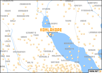
Komla Kopé (Tsévié Préfecture de, Togo)Komla Kopé is a town in the Tsévié Préfecture de region of Togo. An overview map of the region around Komla Kopé is displayed below.
regional and 3d topo map of Komla Kopé, Togo ::
Komla Kopé airports ::
The nearest airport is LFW - Lome Gnassingbe Eyadema Intl, located 24.2 km south east of Komla Kopé.
Other airports nearby include COO - Cotonou Cadjehoun (139.4 km east), ACC - Accra Kotoka Intl (164.5 km south west), Nearby towns ::
Sohoukopé (0.8km north east) //
Kovié (1.4km west) //
Mission-Tové (2.2km south) //
Zobékopé (2.4km north) //
Djosségblé (2.9km south) //
Kota (3.7km west) //
Valakopé (3.7km north) //
Emoé Kopé (3.7km south) //
Ablochrhi Kopé (3.8km north west) //
Assomé (4.5km north east) //
Kpéli Kopé (4.8km south) //
Pakli Kopé (5.1km north west) //
Diassékopé (5.1km south west) //
Tsivé (5.3km west) //
Emoné (5.3km south west) //
Ziovounou (6.1km north) //
Agligo (6.5km south west) //
Tovégblé (6.5km south) //
Tovégblé (6.6km south) //
Tédo (6.6km south west) //
Sévagbléta (6.7km south west) //
Voumé (7.0km south west) //
Téfia (7.1km south west) //
Koulossikopé (7.1km east) //
Dzoubéto (7.1km west) //
Boga Kopé (7.6km south east) //
Kwahwé (7.6km north) //
Gaokopé (7.7km south west) //
Bamé (7.8km west) //
[all distances 'as the bird flies' and approximate] 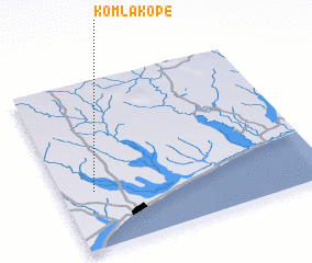 Places with similar names to Komla Kopé, Togo ::
// Komlakopé (TG)
Disclaimer :: Information on this page comes without warranty of any kind |
||
|
Where is Komla Kopé? Elevation and coordinates ::
Latitude (lat): 6°20'31"N Longitude (lon): 1°7'28"E
Elevation (approx.): 28m (map arrows pan, magnifying glasses zoom) |
||
|
Visiting Komla Kopé? Hotel/Accommodation ::
Book a hotel in Komla Kopé Travel Guide ::
Buy a travel guide for Togo rental cars ::
car rental offers GPS waypoint ::
download a GPX waypoint (PoI) of Komla Kopé for your GPS receiver
|
||