|
search place name
|
||
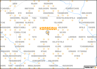
Konagoui (Togo)Konagoui is a town in Togo. An overview map of the region around Konagoui is displayed below.
regional and 3d topo map of Konagoui, Togo ::
Konagoui airports ::
The nearest airport is LFW - Lome Gnassingbe Eyadema Intl, located 142.0 km south of Konagoui.
Other airports nearby include COO - Cotonou Cadjehoun (172.8 km south east), ACC - Accra Kotoka Intl (258.4 km south west), Nearby towns ::
Akotéa (0.0km north) //
Saragamada (1.9km south) //
Akpakopé (2.6km south west) //
Koloukopé (3.7km east) //
Kpakpo (4.1km south west) //
Djonougoué (4.1km south east) //
Abagatchi (4.1km north east) //
Egbéli (4.1km south east) //
Kofétchouko (4.1km north east) //
Yolikopé (5.2km north east) //
Bléonoukopé (5.2km north east) //
Tialakopé (5.2km north east) //
Kélété Talé (5.2km south east) //
Adanou (5.6km south) //
Sicinni (5.5km east) //
Bovéle (5.5km east) //
Gnougbo (5.9km north) //
Koussoukopé (5.9km south) //
Atchou (5.9km north) //
Tchonou (5.9km north) //
Kolokopé (5.8km east) //
Laté (5.8km west) //
Tota (5.8km west) //
Klépé (6.7km south east) //
Kougnohou (7.4km north) //
Atokodjé (7.4km west) //
Akparé (7.6km east) //
Akakaï (7.6km east) //
Afidégnigban (7.6km south) //
[all distances 'as the bird flies' and approximate] 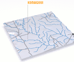 Places with similar names to Konagoui, Togo ::
Disclaimer :: Information on this page comes without warranty of any kind |
||
|
Where is Konagoui? Elevation and coordinates ::
Latitude (lat): 7°27'0"N Longitude (lon): 1°16'0"E
Elevation (approx.): 171m (map arrows pan, magnifying glasses zoom) |
||
|
Visiting Konagoui? Hotel/Accommodation ::
Book a hotel in Konagoui Travel Guide ::
Buy a travel guide for Togo rental cars ::
car rental offers GPS waypoint ::
download a GPX waypoint (PoI) of Konagoui for your GPS receiver
|
||